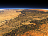
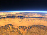
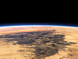
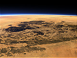
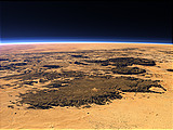
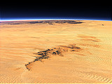
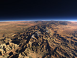
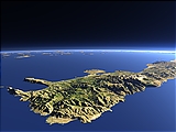
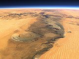
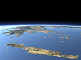
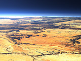
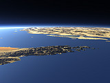
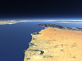
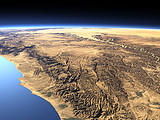
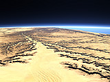
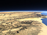
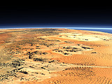
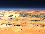
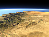
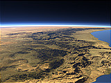
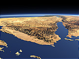
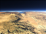
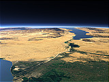
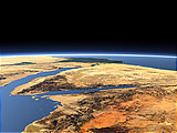
View Gallery – The southern Tassili n'Ajjer
Below you can find views similar to The southern Tassili n'Ajjer
Click on the images to show these views, click on the links below to show this same gallery for them.
Other views near to this image
The Tassili n'Ajjer
Distance: 398 km
Distance: 398 km
The Tadrart Acacus
Distance: 445 km
Distance: 445 km
Tibesti Mountains 2
Distance: 600 km
Distance: 600 km
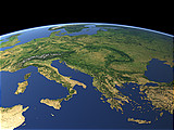
Western Europe
Distance: 620 km
Distance: 620 km
The Aïr Mountains and Ténéré desert
Distance: 672 km
Distance: 672 km
The Aïr Mountains
Distance: 776 km
Distance: 776 km
Eastern Europe
Distance: 1129 km
Distance: 1129 km
The Termit Massif
Distance: 1196 km
Distance: 1196 km
Tibesti Mountains 1
Distance: 1392 km
Distance: 1392 km
The Strait of Messina
Distance: 1405 km
Distance: 1405 km
Atlas Mountains 2
Distance: 1449 km
Distance: 1449 km
The Spanish Sierra Nevada
Distance: 1686 km
Distance: 1686 km
Mediterranean panorama
Distance: 1736 km
Distance: 1736 km
Atlas Mountains
Distance: 1740 km
Distance: 1740 km
Northern Italy
Distance: 1770 km
Distance: 1770 km
The Strait of Gibraltar
Distance: 1816 km
Distance: 1816 km
The Mani Peninsula
Distance: 1841 km
Distance: 1841 km
Western Crete
Distance: 1843 km
Distance: 1843 km
The Richat Structure
Distance: 1866 km
Distance: 1866 km
Greece 1
Distance: 1981 km
Distance: 1981 km
Other views of the same style
The 5 Gigapixel Image
The 5 Gigapixel Image is a project demonstrating the possibilities of the Views of the Earth rendering technique to render very large and detailed views.
Sea Ice Coverage
The Current Sea Ice Coverage in the Arctic and Antarctic Ocean is shown in a section of this site using the Views of the Earth rendering technique.
Home •
Impressum •
Terms •
Sitemap •
Browse:
list
/
map /
gallery •

imagico.de • blog.imagico.de • services.imagico.de • maps.imagico.de • earth.imagico.de • photolog.imagico.de
imagico.de • blog.imagico.de • services.imagico.de • maps.imagico.de • earth.imagico.de • photolog.imagico.de

