Related Views:
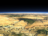
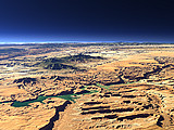

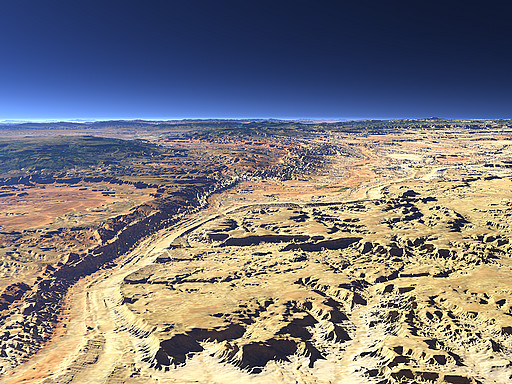
The Waterpocket Fold extents north from the Colorado River in Utah and forms the landscape in the Capitol Reef National Park shown in this view. Left of the fold the Boulder Mountain can be seen.
| View: | The Waterpocket Fold |
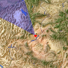
| Location: | Lon -110.826° Lat 37.727° |
| Altitude: | 8 km |
| Direction: | 326° |
| Camera Angle: | 42° |
| User Rating: | 3.1 |
Visitor comments:
By submitting your comment you agree to the privacy policy and agree to the information you provide (except for the email address) to be published on this website.