Kongur Tagh and Muztagh Ata
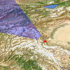
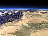
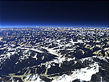
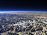
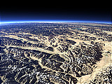
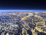
The Kongur Tagh and Muztagh Ata Mountains are located in the far west of China southwest of the Taklamakan Desert that is visible at the right side of this view. Muztagh Ata in the center of the image has an altitude of 7546m and Kongur Tagh more to the right is 7649m high. Behind the mountains the Pamir Plateau with the Karakul Lake can be seen.
| Ansicht: | Kongur Tagh and Muztagh Ata |
| Position: | Lon 76.439° Lat 37.454° |
| Höhe: | 59 km |
| Richtung: | 307° |
| Kamerawinkel: | 45° |
| Bewertung: | 1.8 |
Umgebungskarte: Optisch Topographie
Start •
Impressum •
Nutzungsbedingungen •
Sitemap •
Bilder:
Liste
/
Karte /
Galerie •

imagico.de • blog.imagico.de • services.imagico.de • maps.imagico.de • earth.imagico.de • photolog.imagico.de
imagico.de • blog.imagico.de • services.imagico.de • maps.imagico.de • earth.imagico.de • photolog.imagico.de


Kommentare:
noch keine Kommentare.
Durch das Abschicken Ihres Kommentars stimmen Sie der Datenschutzrichtlinie zu und erlauben, dass die eingegebenen Informationen (mit Ausnahme der eMail-Adresse) in diesem Blog veröffentlicht werden.