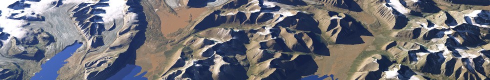
Supplemental to the Svalbard mosaic here some 3d views of the area created using this and elevation data from the Norwegian Polar Institute (CC-BY-4.0 license).


The NPI data is detailed but quite outdated in large parts – here a map of the major coastline changes between that data and the currect state (blue is coastline recess, mostly due to glacier retreat, orange is advance).
