
I am pleased to announce an update to my global satellite image product Green Marble.
The Green Marble is a medium resolution whole earth image offering an unsurpassed uniformity in quality across the whole planet surface on both water and land coloring, based on recent data and a hundred percent cloud free.
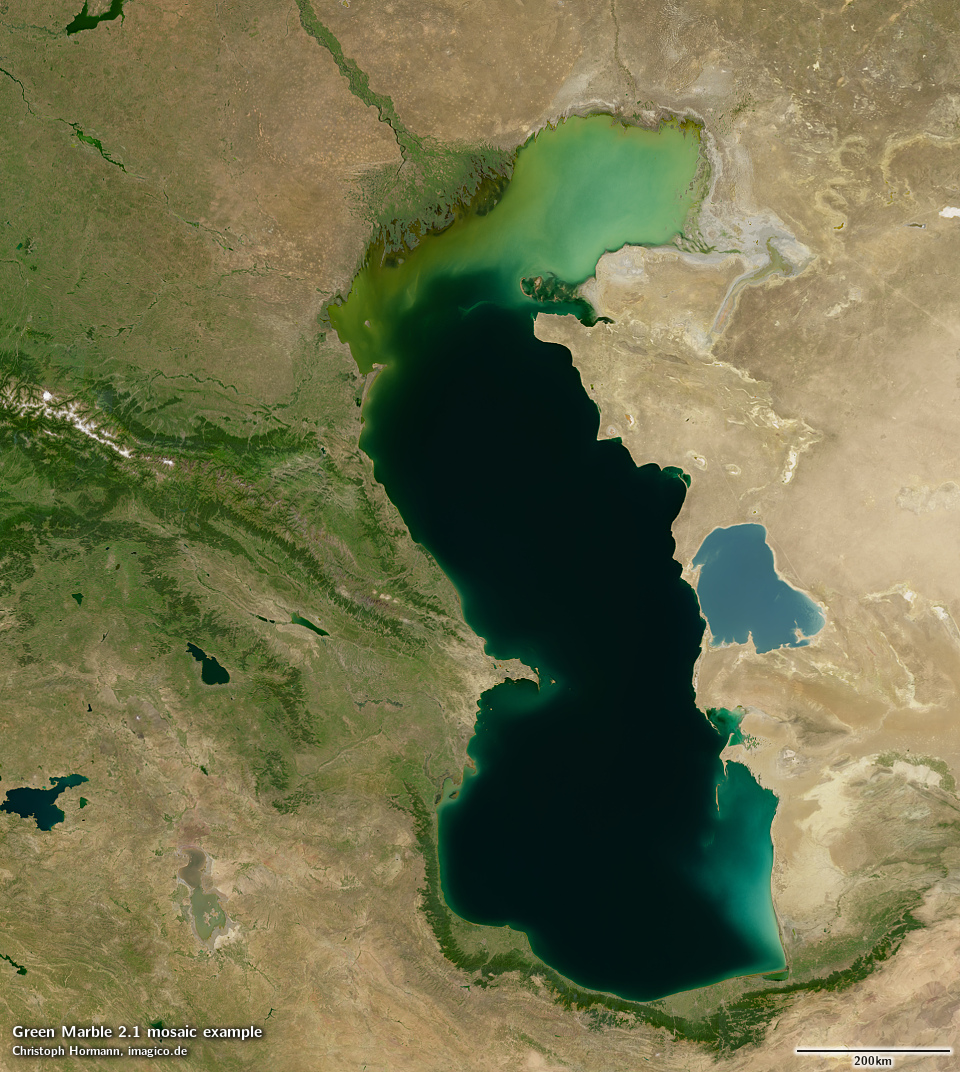
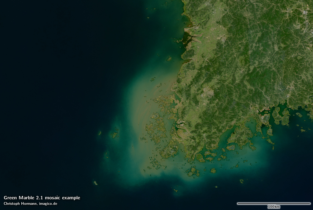
The Caspian Sea depicted by the Green Marble 2.1
The version 2.1 i introduce here is an update of the data basis used for water rendering, which is generated from Sentinel-3 OLCI data. The data basis for that has been more than doubled compared to version 2, meaning that more than 100TB of Sentinel-3 data were downloaded and processed for the production of this image.
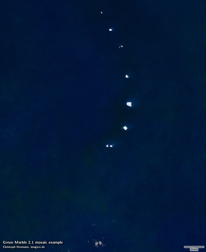
This broader data basis resulted in a significant reduction in artefacts and noise levels in water surface rendering, which demonstrates the excellent convergence characteristics of the processing methods used.
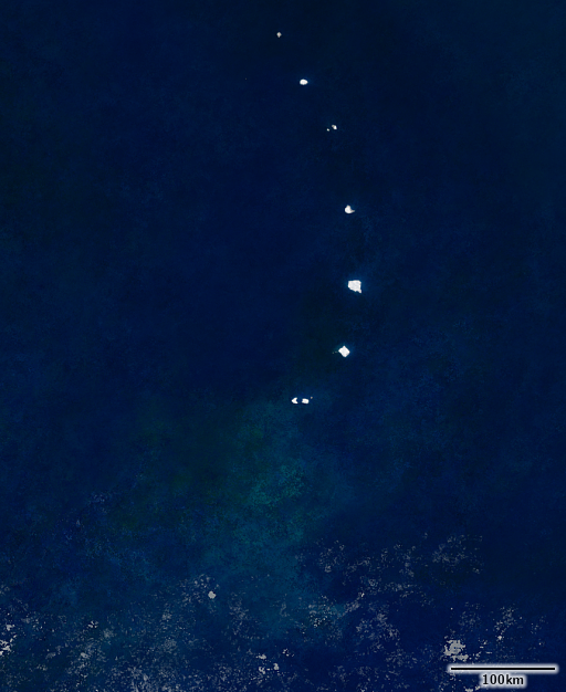
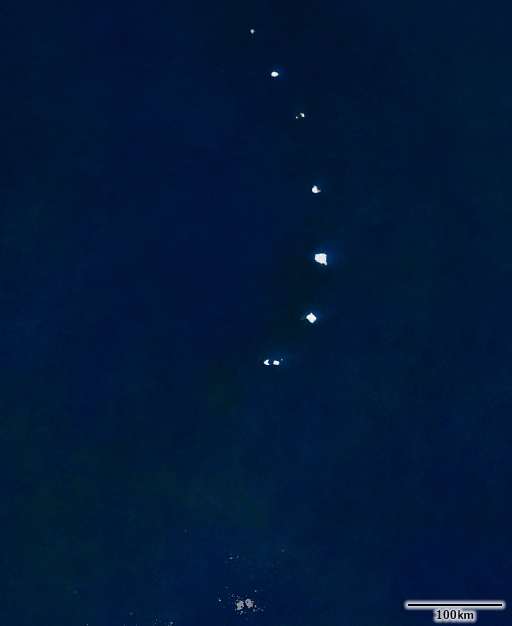
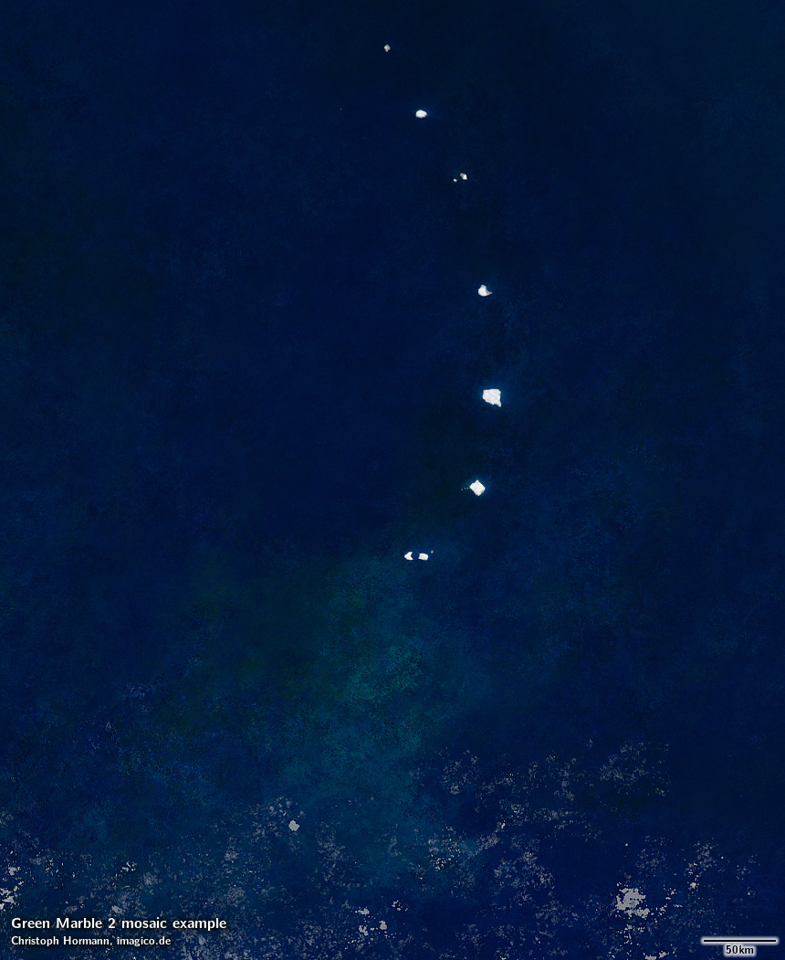
Contrast enhanced visualization of the noise level reduction in depicting open ocean areas
To give some idea of the volume of data processed – here a visualization of the number of ultimately useful data samples (likely water, likely free of cloud, sea ice and sun glint) that went into processing.
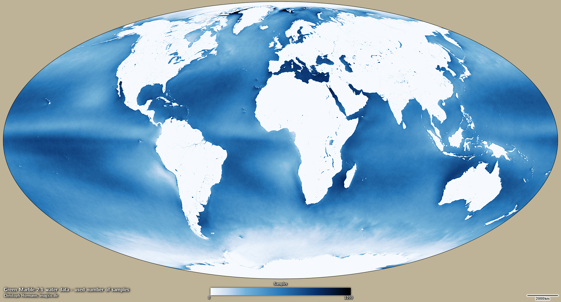
Number of usable samples of water color data processed in production of the Green Marble 2.1
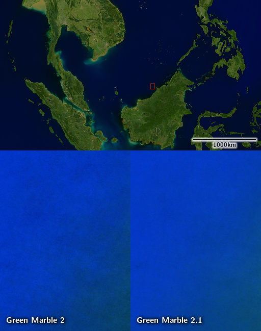
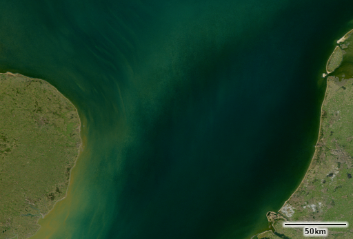
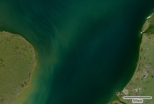
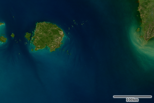
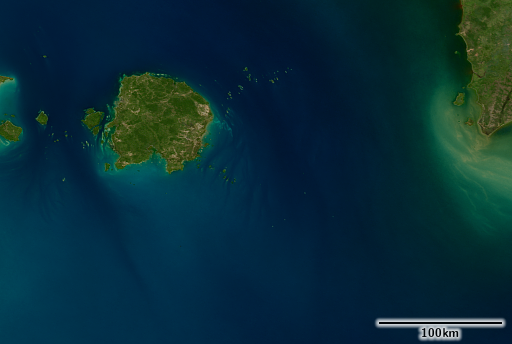
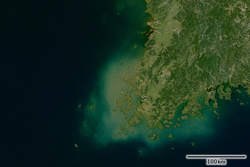
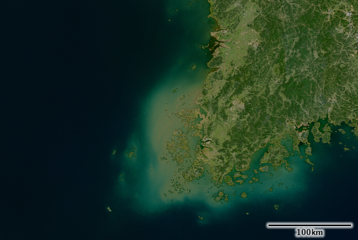
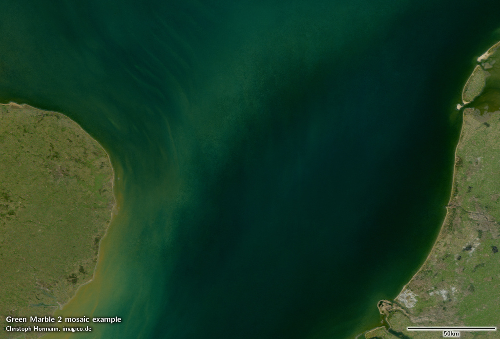
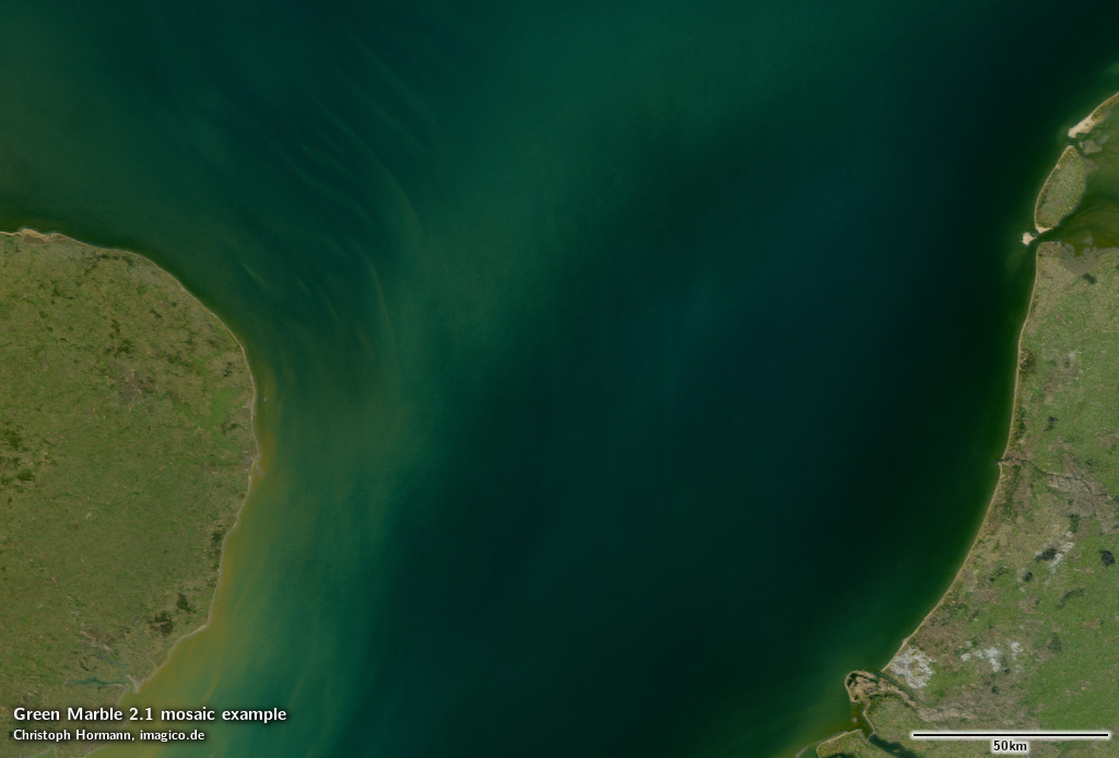
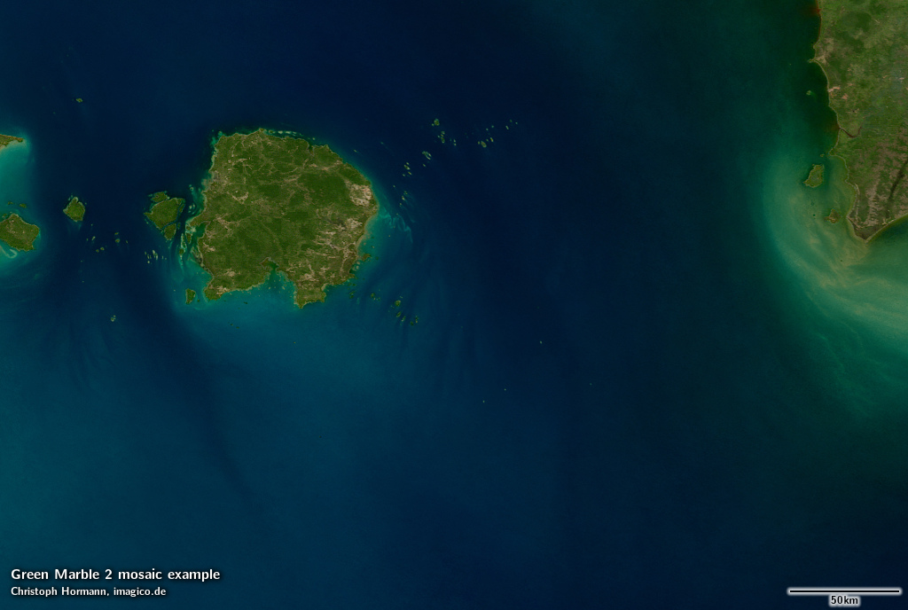
Here a few examples of comparison between version 2 and version 2.1 illustrating the improvement in quality.
The reduced sea ice coverage in the new image is the result of some adjustments made to processing and the additional water data used and does not reflect a reduction in actual sea ice coverage during the past years.
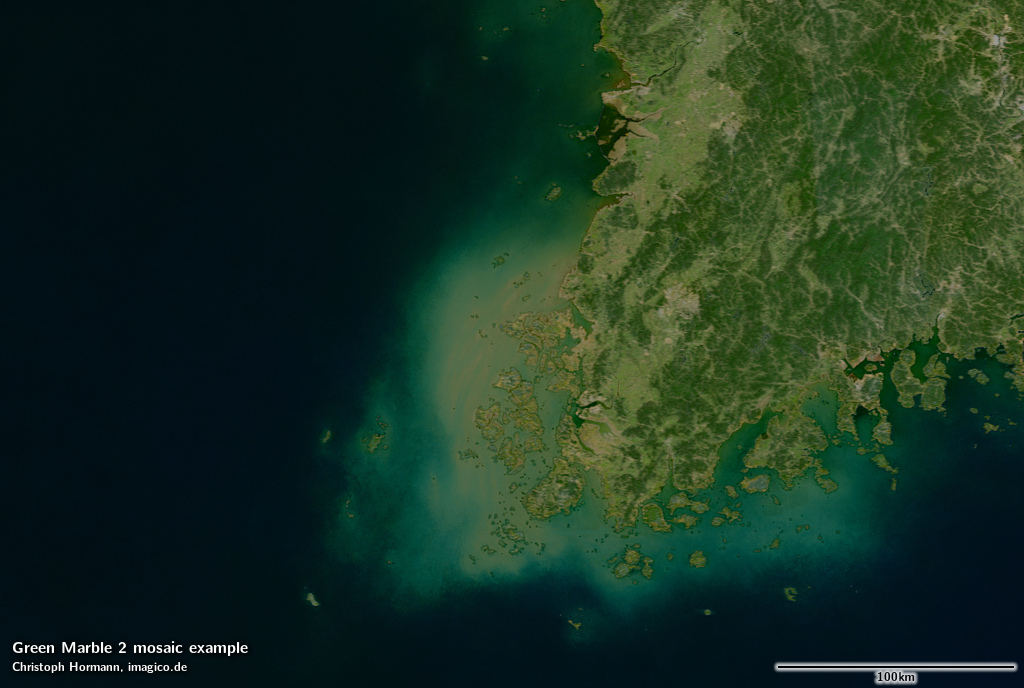
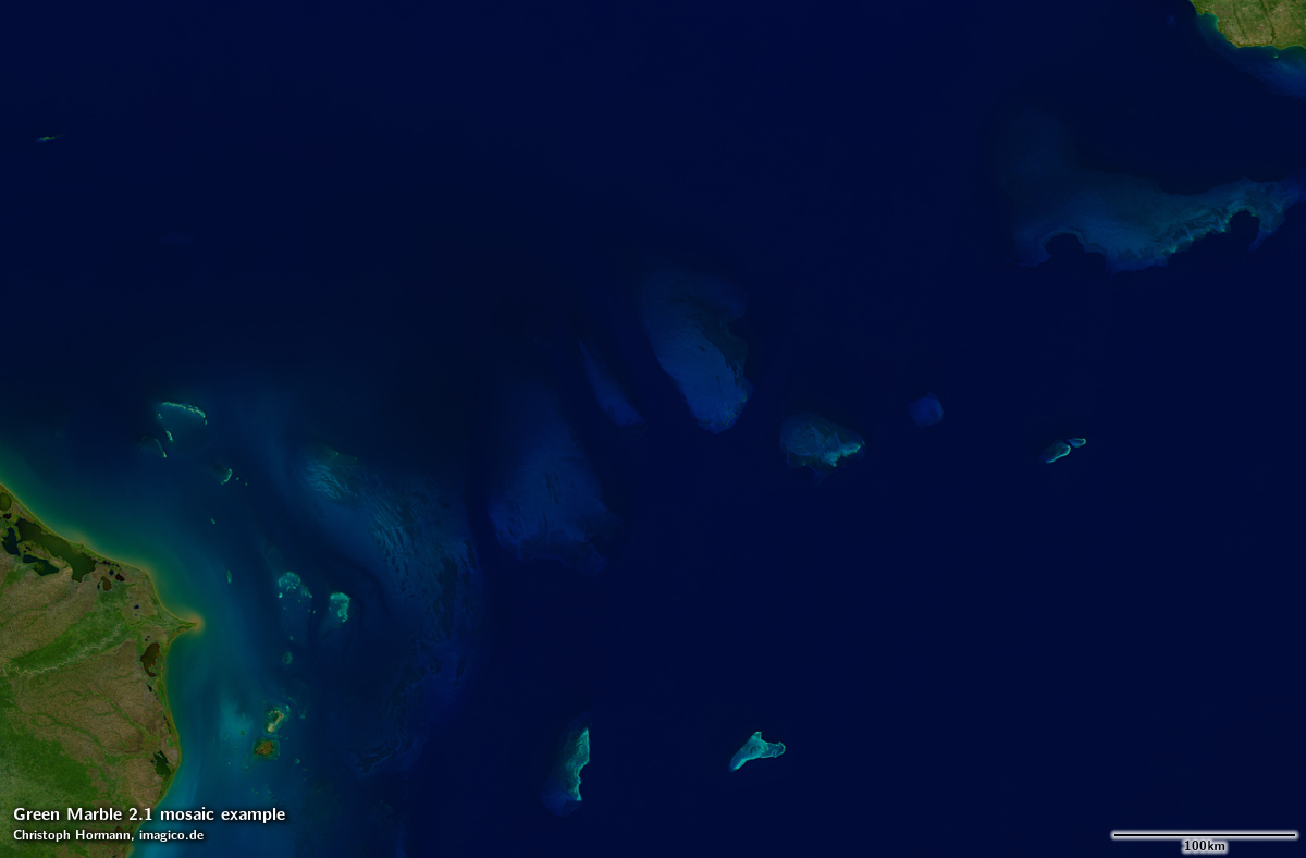
I updated the preview map on maps.imagico.de where you can look at the image in more detail. The product page on services.imagico.de is updated to the new version as well. If you are interested in using this image in your own project you can contact me through the form on the product page or via email. Here some additional samples featuring the improved water rendering.
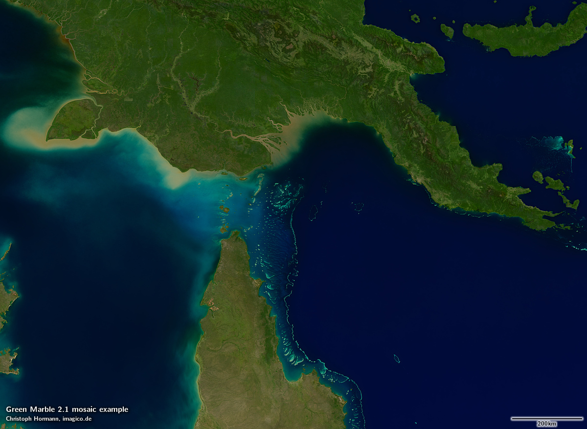
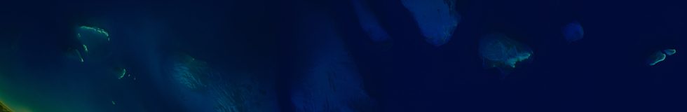
Torres Strait
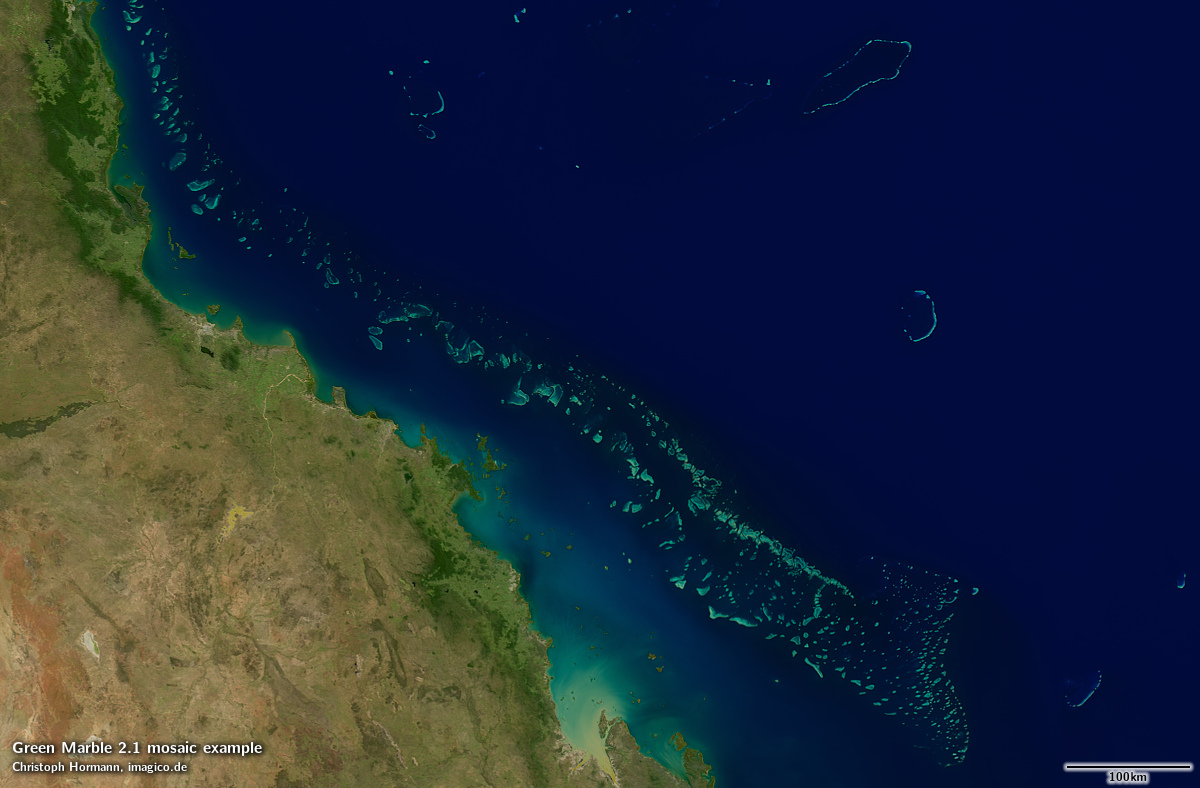
Great Barrier Reef
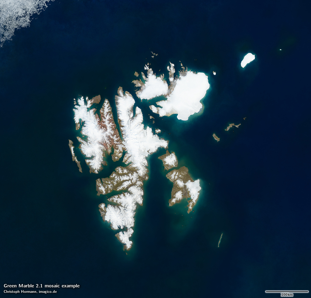
Svalbard
Caribbean Sea
September 4, 2021 at 11:23
Jan Mayen would be a good reference point for comparison as well