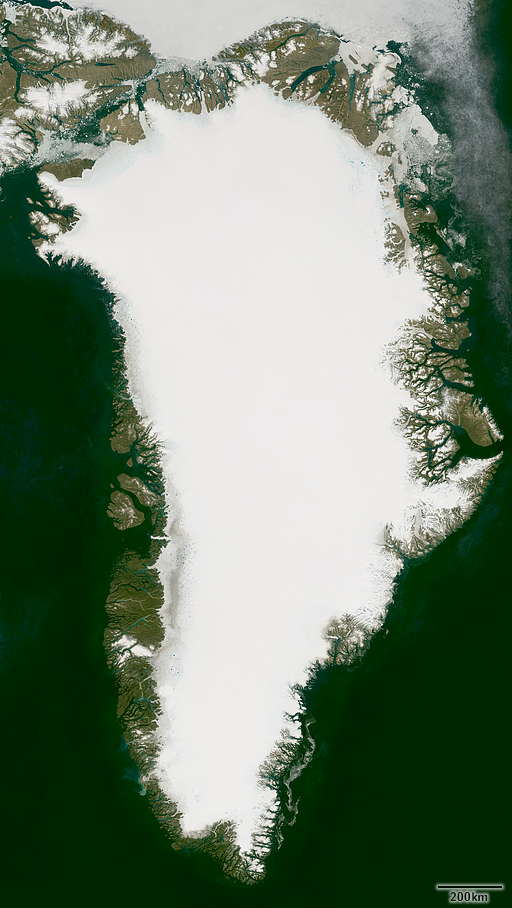
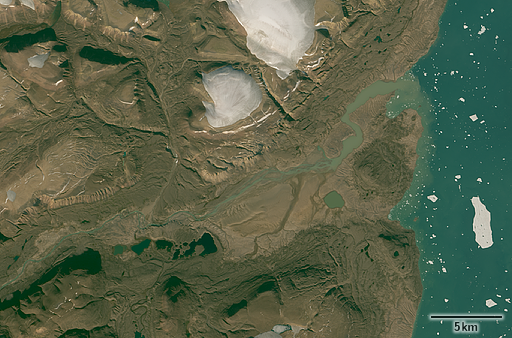
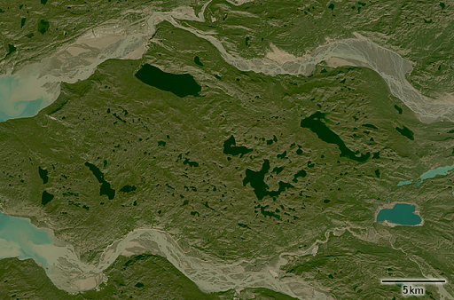
Until now my collection of Landsat based image mosaics of the Arctic islands missed the big one, i.e. Greenland. I am happy to announce now this is being addressed and you can now get also a Greenland mosaic:
This is by far the largest Landsat mosaic i produced to date with nearly 20 gigapixel size. Size in general is not really an issue but Greenland offers a number of challenges for mosaic assembly.
Landsat coverage is incomplete and the northern edge of the covered area produces a number of problems in addition to the lack of data beyond 82.66 degrees latitude. In general the Landsat satellite is in a sun synchroneous orbit so it covers areas at the same local time and therefore approximately the same lighting everywhere on Earth. At higher latitudes this time slot however more and more shifts away from the morning timeframe of lower latitudes and due to the overlap between different satellite orbits you end up with images with illumination varying quite a lot even if they come from the same time of the year which is difficult to assemble seamlessly.
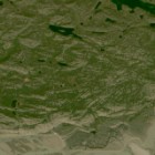
Another problem are contrails. Most flights between Europe and North America cross Greenland and southern Greenland therefore is a fairly busy area is the sky. Planes frequently produce contrails that are often well visible in satellite images but are pretty hard to detect and remove like in the following example from one of the source images.
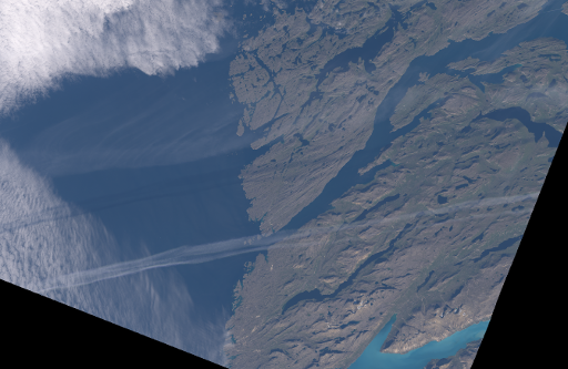
And finally there are of course the usual problems of assembling images for Arctic areas which – due to the size – vary quite a bit between the different parts of the island. Essentially there are at least five opimization criteria for image assembly:
- snow minmum – you want the image with the least seasonal snow in the non-glaciated areas
- sun elevation – you don’t want the sun to be too low so you don’t have overly long shadows
- vegetation maximum – you want to catch the maximum of the sparse vegetation
- sea ice and lake ice minimum – you want the least amount of ice on lakes and the sea
- thawing maximum – you want the glaciated areas to be shown at the thawing maximum so melt pools and other ice surface structures are well visible
All of these occur at different times at the same place and most vary significantly depending where on Greenland you look. In most cases these occur some time in August although thawing maximum is frequently already in July and sea ice minimum in early September. And of course clouds will frequently spoil things in any case.
As usual you can find more information and sample images on services.imagico.de. If you like to use this mosaic let me know.

