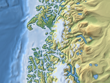
Over the last years i have made available quite a number of interactive maps. I have now put together a new site – maps.imagico.de – where you can view all those maps together in what i hope is a well usable interface.
On this new site the whole viewing program is implemented in javascript, you can switch between different maps and view settings without reloading the page and get immediate update of the URL representing the current state of the interface.
I took the opportunity to move to Openlayers 3 for the map display. This has been somewhat tricky since documentation is still lacking, setting up maps in projections other than normal mercator required quite a bit of trial and error. Also a few useful features from OL2 are missing – there is no support for non-square tiles any more which made the 3d Franz Josef Land map a bit more difficult. On the other hand there are of course also a lot of things that work much better in the new version.
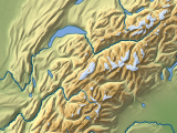
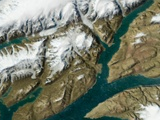
This is still new and not much tested – probably with a few quirks here and there. The tour offered on the starting page is a catalog of bookmarks in the various maps and map layers – here a gallery of all of them together, click on the images to show the corresponding map view.
The tiles in the Mercator and Arctic maps are also updated and the satellite image view based on the Green Marble is now available up to zoom level 6 in Mercator and zoom level 5 in the Arctic projection (previously only to zoom 5 and 3).


