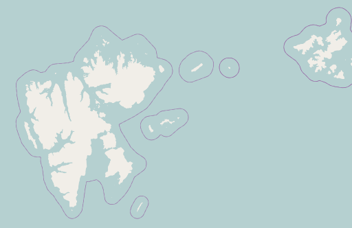
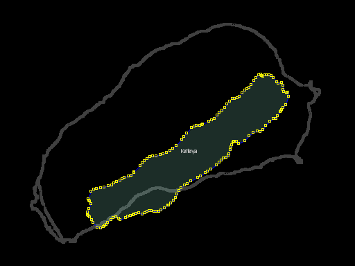
With all the discussion on legal questions concerning use and distribution of geodata, advocates of more restrictive law citing protection of investments and open data advocates pointing out the importance of free information for society many forget that copying of information from maps has been common practice long before the digital age. This can always best be seen in case of mapping errors – which has also lead to deliberate introduction of errors to track copying of map data.
A prominent map error that has enjoyed an exceptional career in the past decades can be found in form of the island of Kvitøya which is part of Svalbard located in the very north of Europe. This island has a roughly oval shape with the length in NE-SW direction being roughly twice the width. In many maps you can find the island drawn much more slim with an aspect ratio of at least 1:5:
- US military map from 1969
- Current US (CIA) map
- The Times Atlas of the World 1955
- Soviet Military map
The origin of this error is not quite clear but it seems to have been very common in maps from the second half of the 20th century. It is however not an universal misconception about the form of the island – see for example the map here from around 1900 where the island’s shape is pretty accurate. Since an error like this is unlikely to occur in several independent surveys it can be said with near certainty that large scale copying of geodata took place here.
Openstreetmap until now also contained this remarkably resilient error – which well illustrate the problems of importing data from other sources without verification. This data had been imported in 2008 from the GADM database to provide basic coverage of areas not included in other coastline data sources like PGS. As this error illustrates this data is however in parts very old and unrealiable.
I have now fixed this area based on up-to-date Landsat imagery extending the previous Franz Josef Land mapping to the west with Victoria Island and Kvitøya.
I saw by the way that there are also others working on improving the outdated coastlines in the Arctic so there is hope for further improvements.


