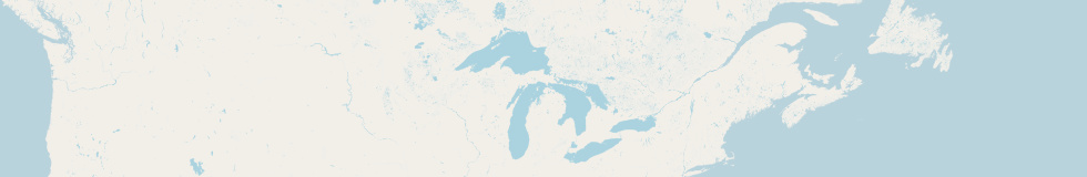

I am happy to announce that reduced waterbody data for low zoom level rendering of OpenStreetMap based maps is now available on a regular basis on openstreetmapdata.com (link removed because no more active). This is produced using the methods i recently introduced here. You can find it on the waterbodies datasets page. Make sure you read the dataset description and the process description which contain important advise on how to use this.
These files can be used by anyone under the conditions of the OpenStreetMap license. Users should however consider supporting our service in financial or other form. Additions to the offered data like this as well as future availability of the free services in general depend on this support.
One additional thing to be aware of when using these files is that OpenStreetMap data always contains a significant amount of broken geometries which is sometimes visible in these files in form of missing features. Jochen maintains a page keeping track of broken polygons in OSM in general but we also generate a list with the errors affecting the waterbody rendering specifically. Many of these are just small water area no more significant that any other broken geometry in OSM but there are also quite a few really big polygons causing trouble. Anyone who is interested in improving data quality in OSM might consider working on this list. It is updated daily whenever we also update the waterbody data.
