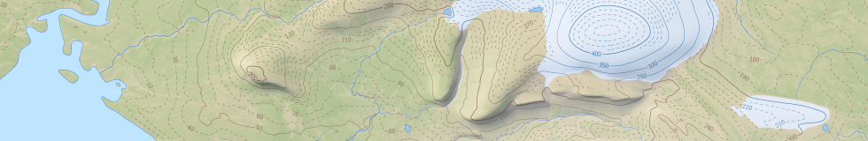
I just updated renderings of the Severnaya Zemlya map with a number of changes:
- Relief data is now using shape-from-shading techniques on the whole map area to provide additional relief details. Quality of this is somewhat variable since availability of suitable images is very limited.
- Map data has in parts been updated based on 2014 images.
- The satellite image layer is updated using new images as well.
- I am using an individualized dot pattern for rendering moraines – only very few have been mapped though.
- There is an additional layer with a new map style.


