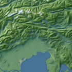
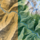
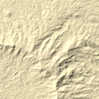
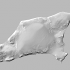
In addition to the mapping of the De Long Islands i produced an improved elevation model using the shape from shading techniques described earlier. Here is a shaded relief rendering of Bennett Island produced from this. This elevation data is … Continue reading
May 20, 2014
by chris
0 comments