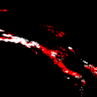
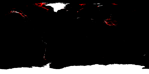
As i have written about the quality of Openstreetmap coastline and waterbody data previously i decided to also look at the third major hydrographic feature as well – the glaciers.
In short: Quality of the glacier data in OSM is both better and worse than it looks at the first glance.
Read the detailed report for more information.

