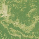
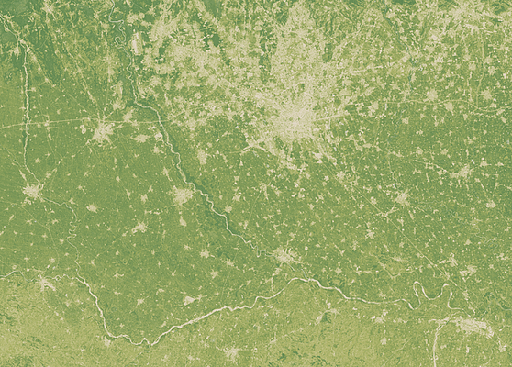
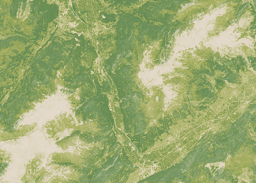
Supplemental to the Landsat mosaic of Germany and the Alps you can now also get a vegetation map generated from the same source data. Like the Green Marble vegetation map this shows the fraction of vegetation cover differentiated by vegetation type, but with a significantly higher resolution of 30 meters. The illustrations here show this rendered in two different green tones – a bright yellow green for the herbaceous vegetation and a darker green for the woody vegetation. Bright beige is used for the unvegetated areas.
Here an example from northern Italy around Milano:
And here another one from Switzerland in the upper Rhone valley:
As usual it is available on services.imagico.de for your applications – send me a message through the form there or via email if you are interested in this.


