Axel Heiberg Island
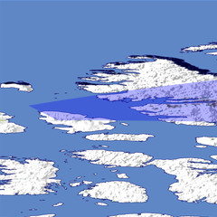
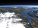
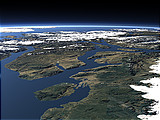
Axel Heiberg Island is one of the Queen Elizabeth Islands in the far north of Canada west of the Ellesmere Island in the background. The northern part of the island is the location of unique fossil forests.
| Ansicht: | Axel Heiberg Island |
| Position: | Lon -102.302° Lat 78.335° |
| Höhe: | 59 km |
| Richtung: | 79° |
| Kamerawinkel: | 40° |
| Bewertung: | 2.3 |
Umgebungskarte: Optisch Topographie

Start •
Impressum •
Nutzungsbedingungen •
Sitemap •
Bilder:
Liste
/
Karte /
Galerie •

imagico.de • blog.imagico.de • services.imagico.de • maps.imagico.de • earth.imagico.de • photolog.imagico.de
imagico.de • blog.imagico.de • services.imagico.de • maps.imagico.de • earth.imagico.de • photolog.imagico.de


Kommentare:
noch keine Kommentare.
Durch das Abschicken Ihres Kommentars stimmen Sie der Datenschutzrichtlinie zu und erlauben, dass die eingegebenen Informationen (mit Ausnahme der eMail-Adresse) in diesem Blog veröffentlicht werden.