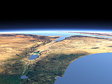
The Wadi Araba
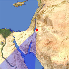
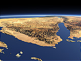
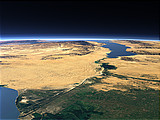
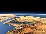
The Gulf of Aqaba is the eastern branch of the Red Sea at the northern end and is part of the East African rift system up to the Dead Sea further north. This view from the north shows the Wadi Araba connecting the Dead Sea with the Gulf. East of the Wadi the ancient Nabataean city of Petra can be found.
| Ansicht: | The Wadi Araba |
| Position: | Lon 35.761° Lat 31.281° |
| Höhe: | 19 km |
| Richtung: | 202.5° |
| Kamerawinkel: | 42° |
| Bewertung: | 2.4 |
Umgebungskarte: Optisch Topographie
Start •
Impressum •
Nutzungsbedingungen •
Sitemap •
Bilder:
Liste
/
Karte /
Galerie •

imagico.de • blog.imagico.de • services.imagico.de • maps.imagico.de • earth.imagico.de • photolog.imagico.de
imagico.de • blog.imagico.de • services.imagico.de • maps.imagico.de • earth.imagico.de • photolog.imagico.de


Kommentare:
Durch das Abschicken Ihres Kommentars stimmen Sie der Datenschutzrichtlinie zu und erlauben, dass die eingegebenen Informationen (mit Ausnahme der eMail-Adresse) in diesem Blog veröffentlicht werden.