Related Views:
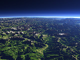
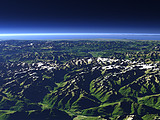
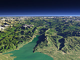
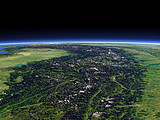

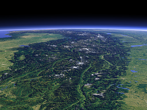
The Alps mountains are the highest mountain range in Europe. They separate the plains of Northern Italy on the left from Central Europe with Germany on the right and France in the background. This view shows the whole Alps west of Dachstein on the right and the Niedere Tauern on the left including all peaks above 3000m. In the far background left the Pyrenees can be seen. Uses data copyright OpenStreetMap contributors.
| View: | The Alps from East (new version) |
| Location: | Lon 18.49° Lat 48.295° |
| Altitude: | 141.863 km |
| Direction: | 250° |
| Camera Angle: | 26° |
| User Rating: | - |

This image is licensed under the Creative Commons Attribution-Share Alike 3.0 license and is also available under these terms in a large version suited for printing. More Information on Creative Commons Licensing of images on this site.
Visitor comments:
no comments yet.
By submitting your comment you agree to the privacy policy and agree to the information you provide (except for the email address) to be published on this website.