Imagico.de
Landsat mosaic of Greenland
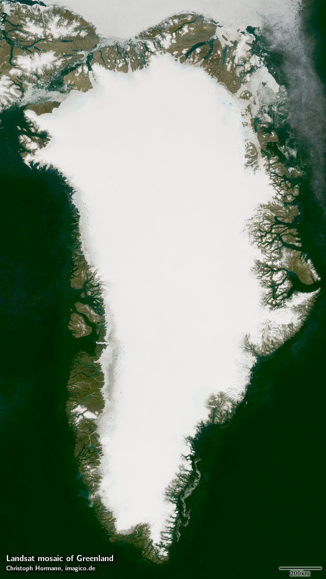
This Landsat mosaic of Greenland gives an up-to-date visual color impression of the island of Greenland as it looks like in summer. For this I processed and assembled Landsat images for the area as well as adjacent parts of Canada (i.e. northern Ellesmere Island).
This Landsat mosaic can be considered a higher resolution supplement to the Green Marble and similarly it represents the surface color with compensation for the effects of the atmosphere. Selection of source data is targeting a late summer time frame with priority on August.
Due to the high contrast between the bright ice and dark ice free areas the whole range of colors needs to be significantly compressed to be shown on a normal computer display or in print. This contrast compression can be adjusted to better bring out the dark areas or to better show subtle differences on the ice. See the gallery below for some samples for this.
The mosaic features seamless coverage of the ocean using the Green Marble mosaic for areas further from the coast without Landsat coverage. Same applies to the northmost areas north of about 82.66 degrees latitude, i.e. the regular Landsat coverage limit. Coastal waters are based on Landsat data showing semipermanent sea ice as well as iceberg and drift ice distribution.
Source data is almost exclusively Landsat 8 imagery from 2013 to 2015 with only very few small areas where this has been supplemented by Landsat 7 imagery from 2009-2013.
Key properties
- Visible color mosaic of Greenland and northern Ellesmere Island
- 15m base resolution, total size 106000×188000 pixel
- Based on Landsat imagery, primarily Landsat 8 from 2013-2015, ~0.1 percent from Landsat 7 2009-2013
- Ocean color and areas north of 82.66 degrees latitude based on Green Marble
- Shows atmosphere compensated surface color, available either as linear surface reflectance values or tone mapped for direct display
- Assembled in Greenland centered polar stereographic projection (EPSG:3413), can be made available in other projections.
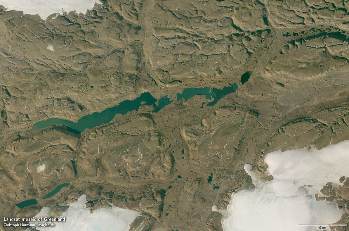
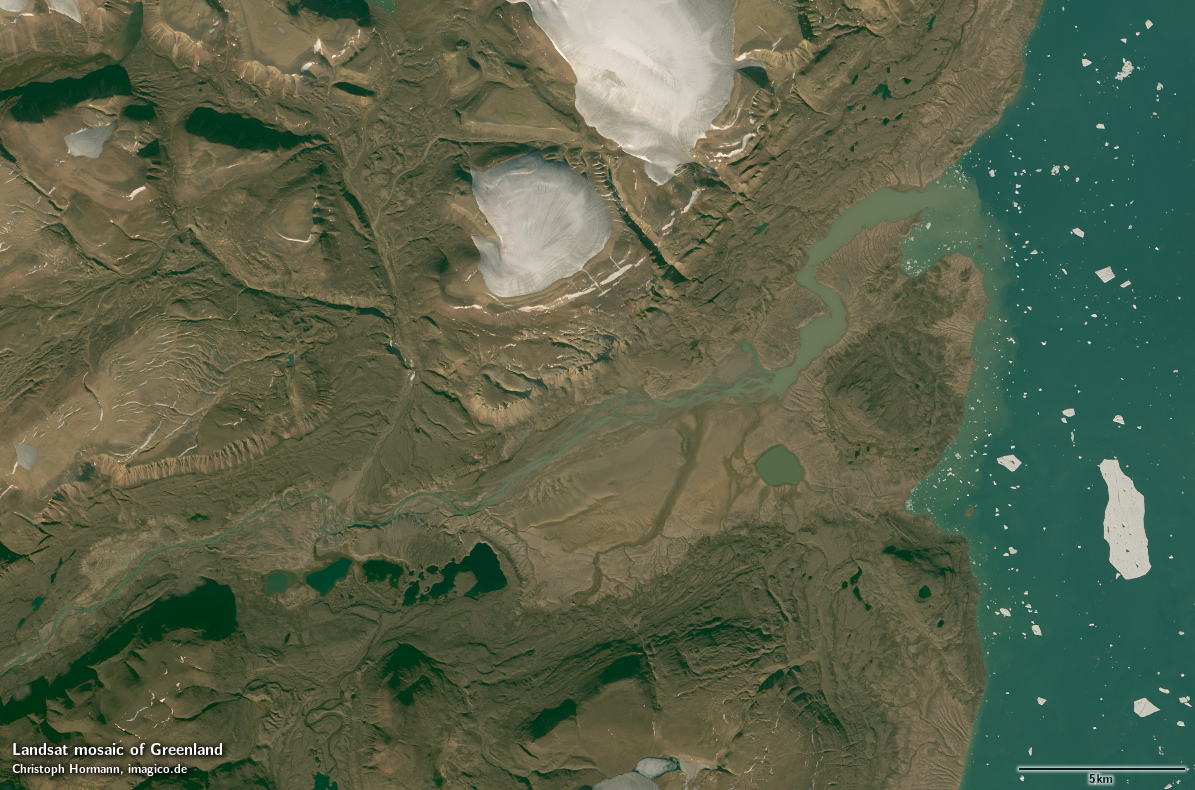
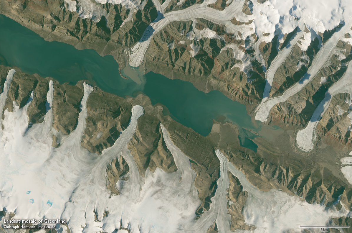
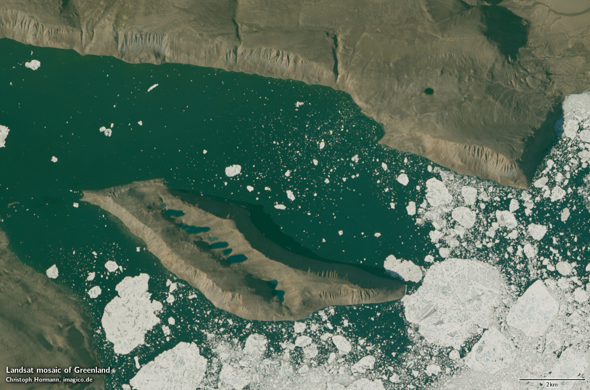
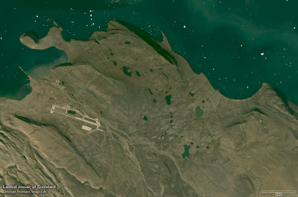
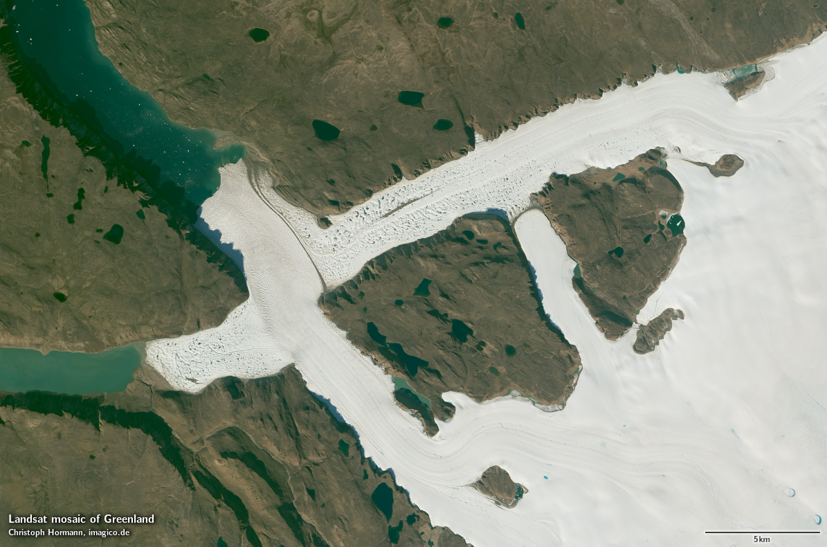
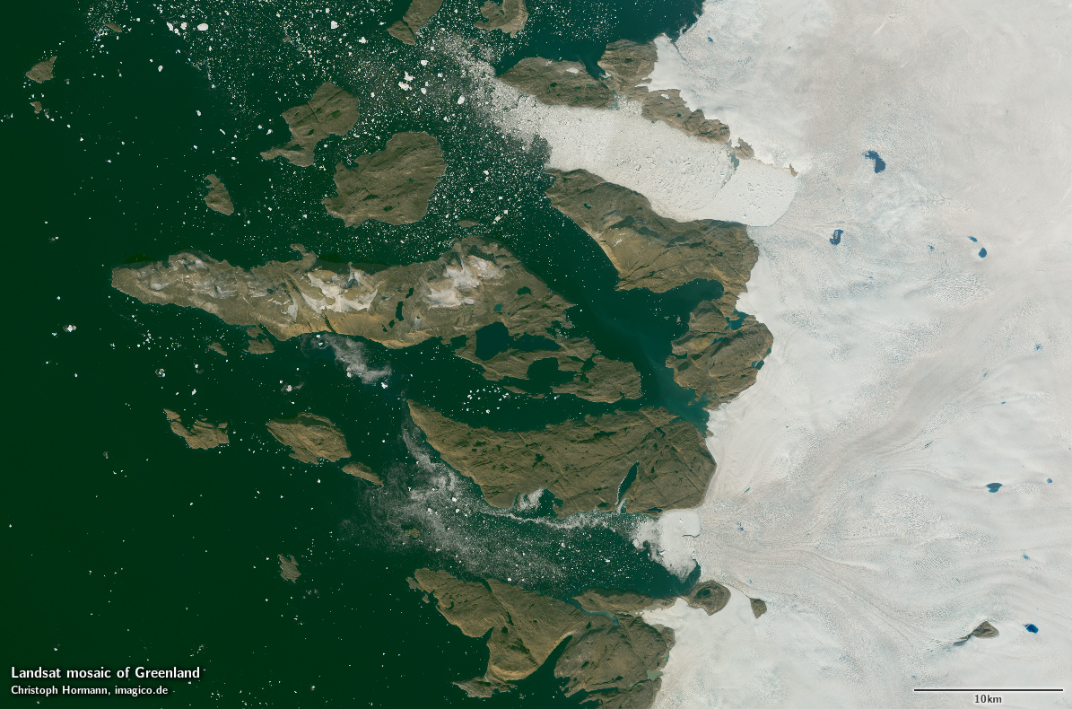
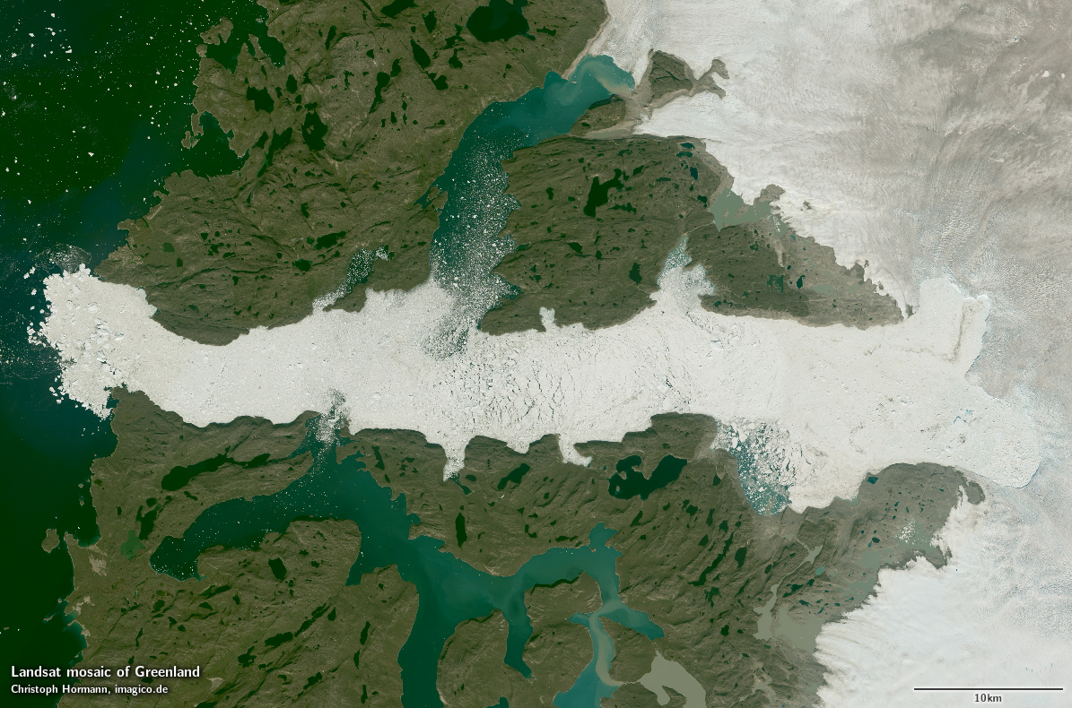
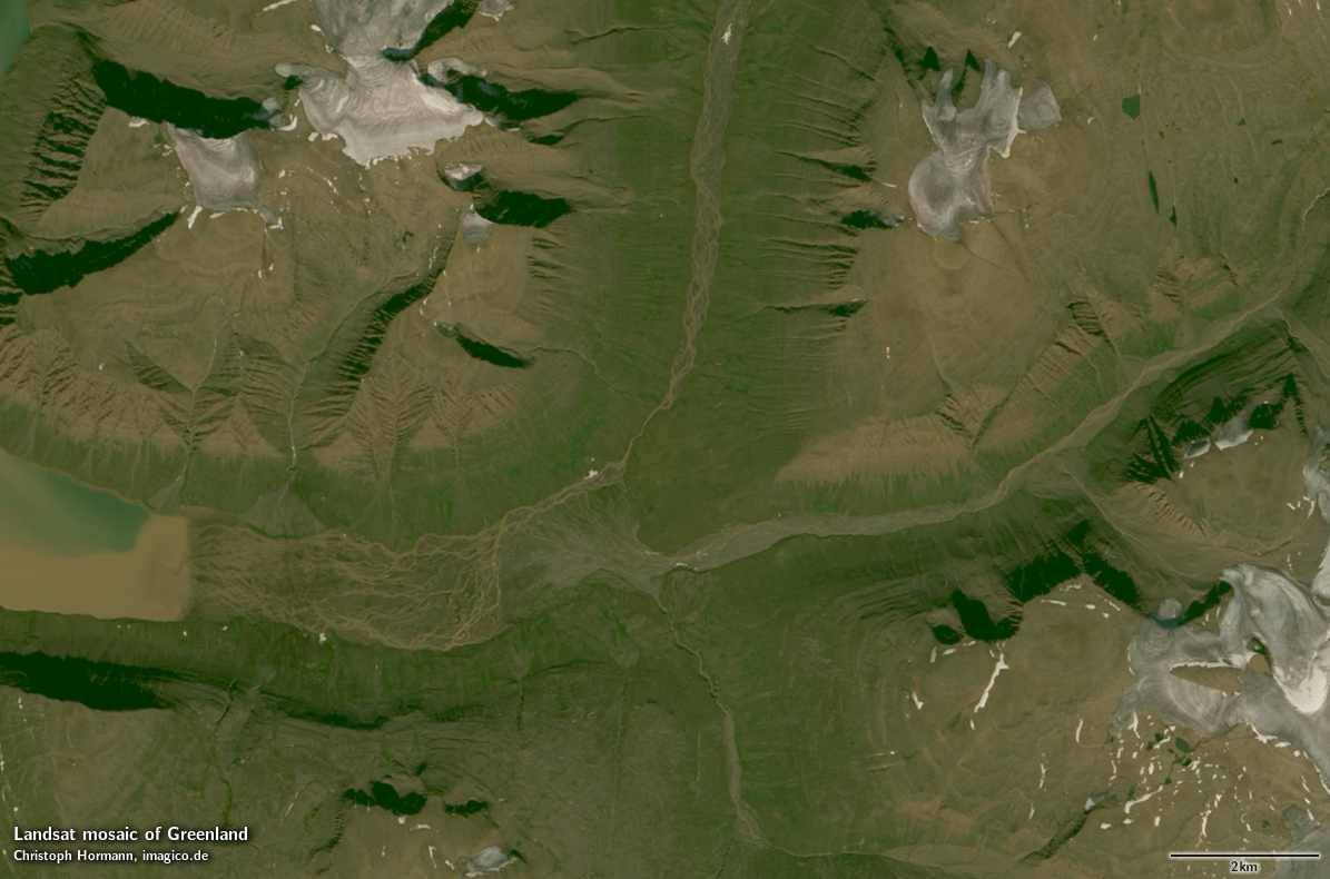
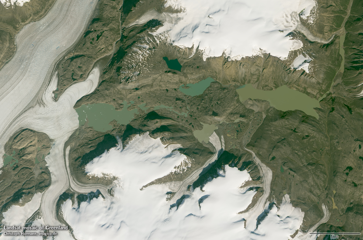
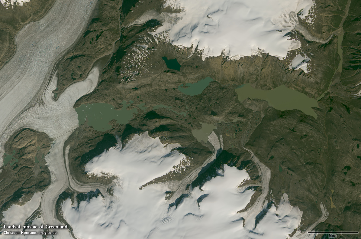
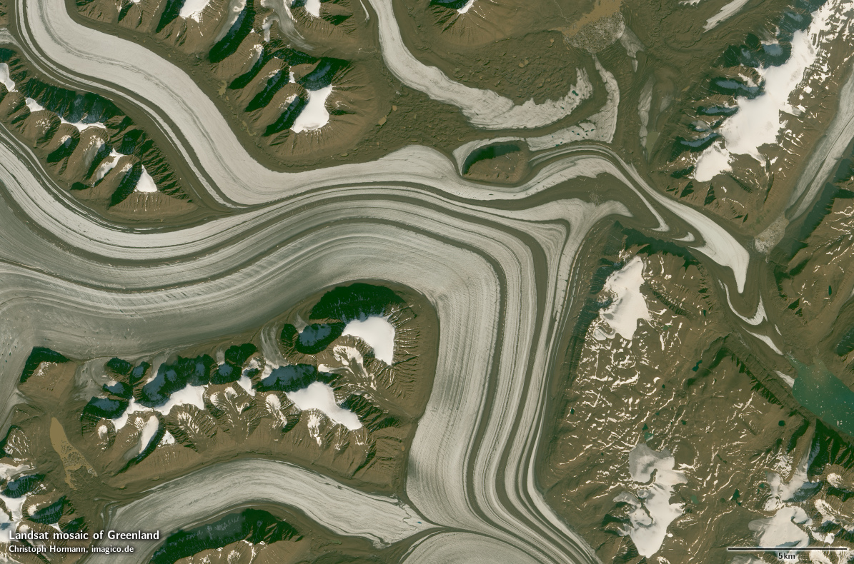
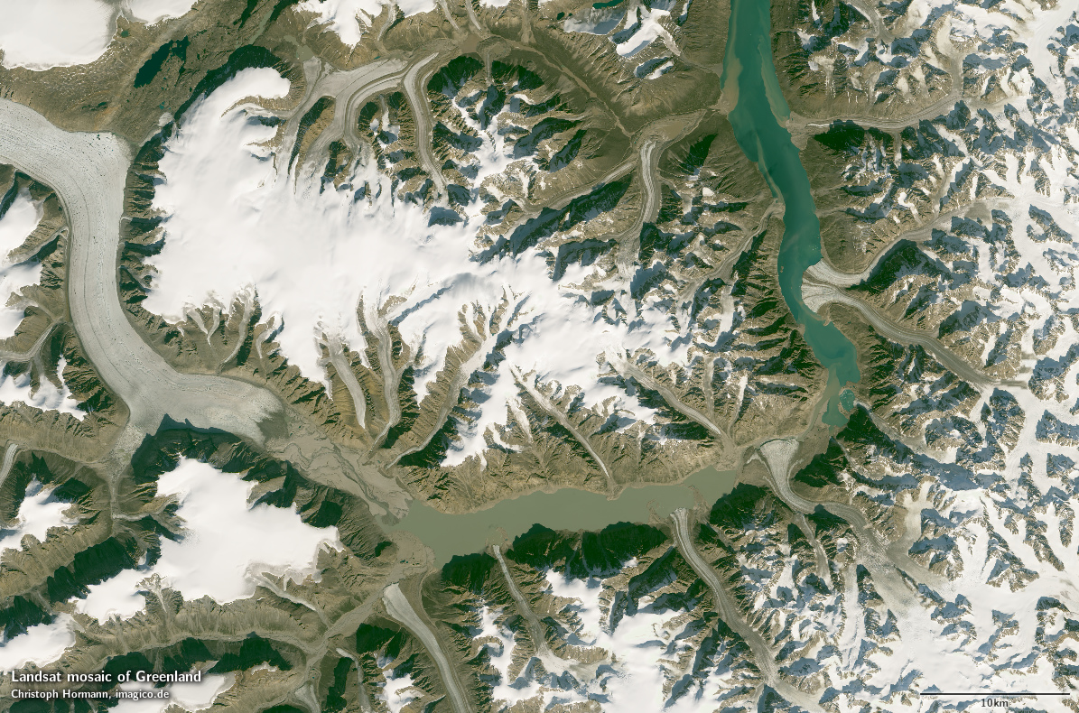
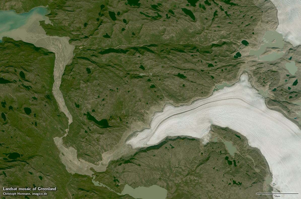
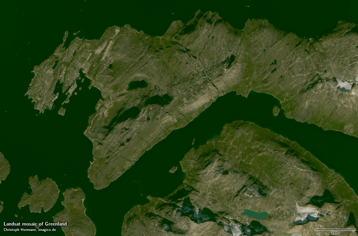
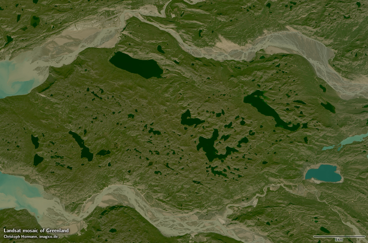
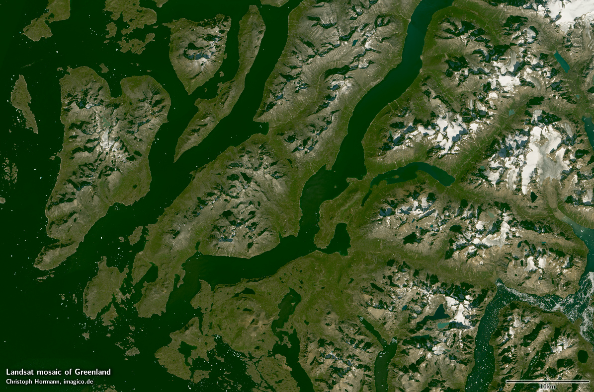
Sample gallery


If you are interested in using this Landsat mosaic use the form below to describe your needs and i will get back to you.
Data inquiry
Blog news:
Todays featured image: