Map based image search - Africa
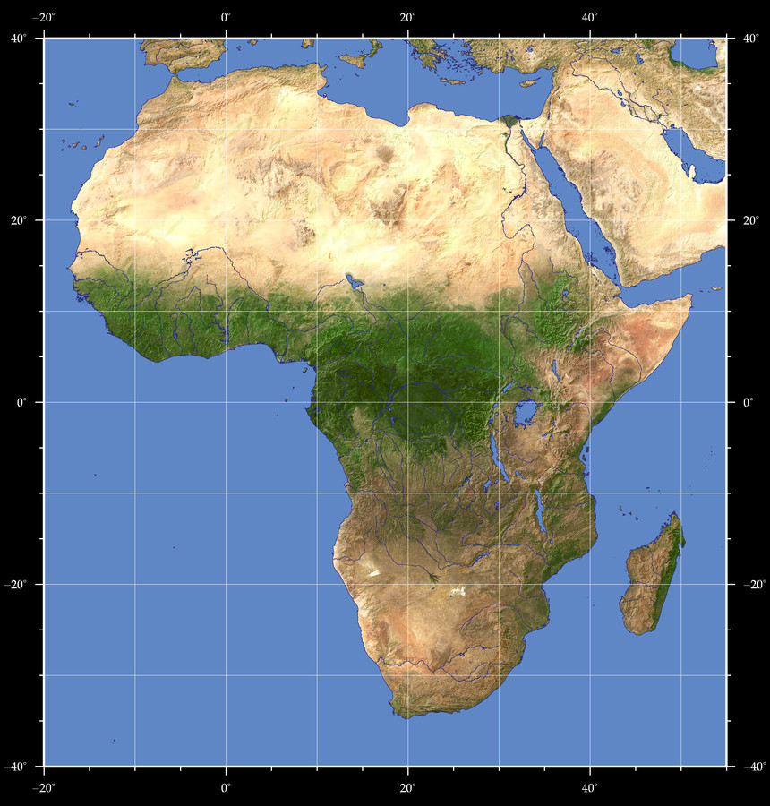
Click on the map to zoom into a certain region.
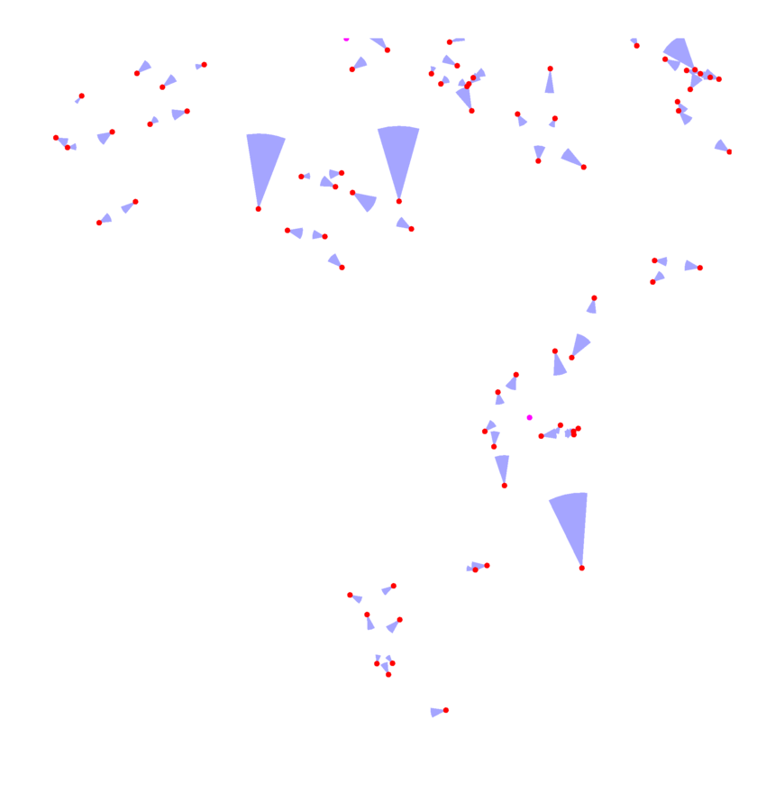
The view locations are marked on the map with dots - red for normal perspective views, magenta for panoramas. The blue sectors indicate the view direction, angle and distance - large sectors indicate high altitude views, small sectors closeups. Click on the dots to see the images.


Map Style: Visible Topography
--
Home •
Impressum •
Terms •
Sitemap •
Browse:
list
/
map /
gallery •

imagico.de • blog.imagico.de • services.imagico.de • maps.imagico.de • earth.imagico.de • photolog.imagico.de
imagico.de • blog.imagico.de • services.imagico.de • maps.imagico.de • earth.imagico.de • photolog.imagico.de
