Central Franz Josef Land
This view shows the central part of Franz Josef Land from the east with Wiener Neustadt Island in the foreground and Ziegler Island and Salisbury Island behind. Wiener Neustadt Island as well as many of the other islands got their names from an Austrian Expedition that first charted the islands in 1873. Franz Josef Land is located at the northeast end of Europe and the islands are mostly covered by glaciers.
| View: | Central Franz Josef Land |
| Location: | Lon 60.196° Lat 80.683° |
| Altitude: | 11.863 km |
| Direction: | 291° |
| Camera Angle: | 40° |
| User Rating: | - |
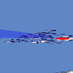
Location Map: Visible Topography
Home •
Impressum •
Terms •
Sitemap •
Browse:
list
/
map /
gallery •

imagico.de • blog.imagico.de • services.imagico.de • maps.imagico.de • earth.imagico.de • photolog.imagico.de
imagico.de • blog.imagico.de • services.imagico.de • maps.imagico.de • earth.imagico.de • photolog.imagico.de



Visitor comments:
no comments yet.
By submitting your comment you agree to the privacy policy and agree to the information you provide (except for the email address) to be published on this website.