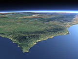
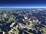
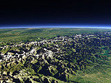
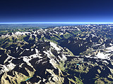
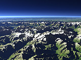
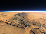
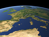
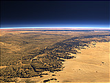
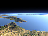
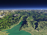
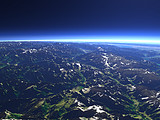
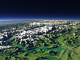
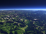
View Gallery – The Strait of Gibraltar
Below you can find views similar to The Strait of Gibraltar
Click on the images to show these views, click on the links below to show this same gallery for them.
Other views near to this image
The Algarve and Cape of St.Vincent
Distance: 302 km
Distance: 302 km
Atlas Mountains 2
Distance: 385 km
Distance: 385 km
Atlas Mountains
Distance: 466 km
Distance: 466 km
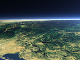
The Spanish Sierra Nevada
Distance: 492 km
Distance: 492 km
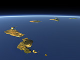
Canary Islands 2
Distance: 747 km
Distance: 747 km
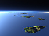
Madeira
Distance: 817 km
Distance: 817 km
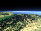
Pyrenees 1
Distance: 924 km
Distance: 924 km
Canary Islands 1
Distance: 1226 km
Distance: 1226 km
Canary Islands 3
Distance: 1256 km
Distance: 1256 km
Pyrenees 2
Distance: 1302 km
Distance: 1302 km
The Alps from the west
Distance: 1376 km
Distance: 1376 km
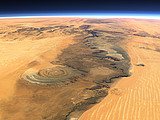
The Richat Structure
Distance: 1421 km
Distance: 1421 km
The southwestern Alps
Distance: 1469 km
Distance: 1469 km
The Maritime Alps
Distance: 1500 km
Distance: 1500 km
The western Alps
Distance: 1647 km
Distance: 1647 km
Mont Blanc
Distance: 1662 km
Distance: 1662 km
The western Alps 2
Distance: 1681 km
Distance: 1681 km
Matterhorn
Distance: 1725 km
Distance: 1725 km
Monte Rosa
Distance: 1760 km
Distance: 1760 km
The Adrar Plateau
Distance: 1780 km
Distance: 1780 km
Western Europe
Distance: 1798 km
Distance: 1798 km
Western Alps panorama
Distance: 1804 km
Distance: 1804 km
The southern Tassili n'Ajjer
Distance: 1816 km
Distance: 1816 km
Mediterranean panorama
Distance: 1866 km
Distance: 1866 km
The Strait of Messina
Distance: 1880 km
Distance: 1880 km
Lake Garda and the Etsch Valley
Distance: 1882 km
Distance: 1882 km
The upper Rhône River
Distance: 1918 km
Distance: 1918 km
The Bernese Alps from north
Distance: 1936 km
Distance: 1936 km
The Dolomites
Distance: 1967 km
Distance: 1967 km
The 5 Gigapixel Image
The 5 Gigapixel Image is a project demonstrating the possibilities of the Views of the Earth rendering technique to render very large and detailed views.
Sea Ice Coverage
The Current Sea Ice Coverage in the Arctic and Antarctic Ocean is shown in a section of this site using the Views of the Earth rendering technique.
Home •
Impressum •
Terms •
Sitemap •
Browse:
list
/
map /
gallery •

imagico.de • blog.imagico.de • services.imagico.de • maps.imagico.de • earth.imagico.de • photolog.imagico.de
imagico.de • blog.imagico.de • services.imagico.de • maps.imagico.de • earth.imagico.de • photolog.imagico.de

