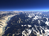
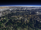
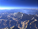
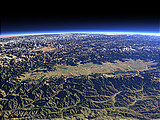
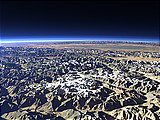
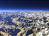
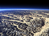
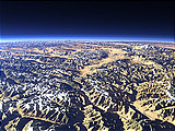
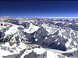
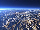
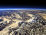
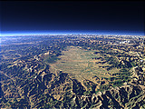
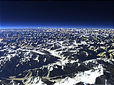
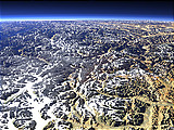
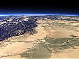
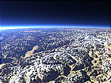
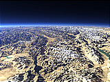
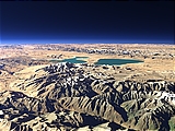
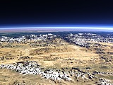
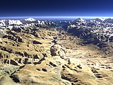
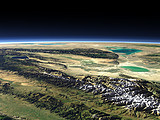
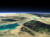
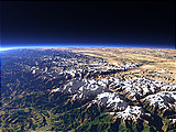
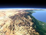
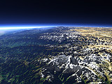
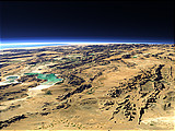
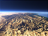
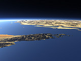
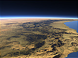
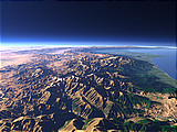
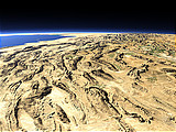
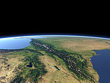
View Gallery – The Indus River 2
Below you can find views similar to The Indus River 2
Click on the images to show these views, click on the links below to show this same gallery for them.
Other views near to this image
The Wakhan Corridor
Distance: 168 km
Distance: 168 km
The Indus River 1
Distance: 179 km
Distance: 179 km
The Nanga Parbat
Distance: 191 km
Distance: 191 km
The Kashmir Valley from the south
Distance: 215 km
Distance: 215 km
The northern Pamir and the Fedchenko Glacier
Distance: 261 km
Distance: 261 km
The Karakoram from south
Distance: 285 km
Distance: 285 km
The Pamir Plateau
Distance: 297 km
Distance: 297 km
The Khunjerab Pass
Distance: 320 km
Distance: 320 km
The K2
Distance: 322 km
Distance: 322 km
The Deosai Plains
Distance: 331 km
Distance: 331 km
Kongur Tagh and Muztagh Ata
Distance: 379 km
Distance: 379 km
The Kashmir Valley from the east
Distance: 398 km
Distance: 398 km
The Fedchenko Glacier
Distance: 426 km
Distance: 426 km
The western Karakoram Mountains
Distance: 514 km
Distance: 514 km
The Kongur Shan Mountains and the Eastern Taklamakan
Distance: 524 km
Distance: 524 km
From Ladakh towards the Karakoram Mountains
Distance: 550 km
Distance: 550 km
Ladakh and the upper Indus river
Distance: 628 km
Distance: 628 km
Lake Manasarovar and Rakshastal
Distance: 1016 km
Distance: 1016 km
Mustang
Distance: 1235 km
Distance: 1235 km
The Kali Gandaki Gorge from north
Distance: 1242 km
Distance: 1242 km
Poon Hill panorama
Distance: 1275 km
Distance: 1275 km
The Dzungarian Gate 1
Distance: 1279 km
Distance: 1279 km
The Dzungarian Gate 2
Distance: 1333 km
Distance: 1333 km
The Kali Gandaki Gorge
Distance: 1375 km
Distance: 1375 km
Mount Damavand
Distance: 1749 km
Distance: 1749 km
The Himalaya in Nepal
Distance: 1764 km
Distance: 1764 km
The Zagros Mountains from east
Distance: 1792 km
Distance: 1792 km
Closeup view of Mount Damavand
Distance: 1830 km
Distance: 1830 km
The Musandam Peninsula
Distance: 1846 km
Distance: 1846 km
The Strait of Hormuz
Distance: 1882 km
Distance: 1882 km
The Jabal Akhdar Mountains
Distance: 1910 km
Distance: 1910 km
The Takht-e Soleyman Massif
Distance: 1923 km
Distance: 1923 km
The Southern Zagros Mountains 2
Distance: 1925 km
Distance: 1925 km
Caucasus Mountains
Distance: 1976 km
Distance: 1976 km
The 5 Gigapixel Image
The 5 Gigapixel Image is a project demonstrating the possibilities of the Views of the Earth rendering technique to render very large and detailed views.
Sea Ice Coverage
The Current Sea Ice Coverage in the Arctic and Antarctic Ocean is shown in a section of this site using the Views of the Earth rendering technique.
Home •
Impressum •
Terms •
Sitemap •
Browse:
list
/
map /
gallery •

imagico.de • blog.imagico.de • services.imagico.de • maps.imagico.de • earth.imagico.de • photolog.imagico.de
imagico.de • blog.imagico.de • services.imagico.de • maps.imagico.de • earth.imagico.de • photolog.imagico.de

