The Pamir Plateau
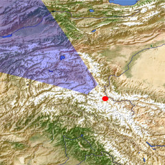
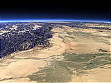
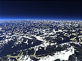
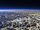
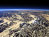
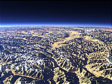
The Pamir Plateau is a large plateau in the Pamir mountain range at an altitude of about 3500 to 5000m with mountains up to more than 7000m. This view shows the central part of the plateau from the southeast covering Tajikistan in the center, Eastern China on the right and Afghanistan as well as northern Pakistan on the foreground left.
| View: | The Pamir Plateau |
| Location: | Lon 76.032° Lat 36.52° |
| Altitude: | 59 km |
| Direction: | 310° |
| Camera Angle: | 45° |
| User Rating: | 2.6 |
Location Map: Visible Topography
Home •
Impressum •
Terms •
Sitemap •
Browse:
list
/
map /
gallery •

imagico.de • blog.imagico.de • services.imagico.de • maps.imagico.de • earth.imagico.de • photolog.imagico.de
imagico.de • blog.imagico.de • services.imagico.de • maps.imagico.de • earth.imagico.de • photolog.imagico.de


Visitor comments:
By submitting your comment you agree to the privacy policy and agree to the information you provide (except for the email address) to be published on this website.