The Rwenzori Mountains and Lake Edward
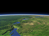
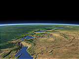
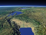
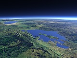
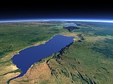
The Rwenzori Mountains are one of just three mountain ranges in Africa which are covered by Glaciers. The visibly snow covered peaks in this view are Mount Stanley (5109m) and Mount Speke (4890m). South of the Mountains to the center right of this view lies Lake Edward which drains into the Nile via the Semliki River in the foreground. In the far background right the Virunga volcanos as well as Lake Kivu and Lake Tanganyika can be seen.
| View: | The Rwenzori Mountains and Lake Edward |
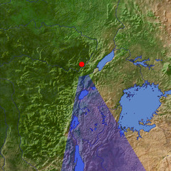
| Location: | Lon 29.511° Lat 1.41° |
| Altitude: | 39 km |
| Direction: | 170° |
| Camera Angle: | 42° |
| User Rating: | - |
Location Map: Visible Topography
Home •
Impressum •
Terms •
Sitemap •
Browse:
list
/
map /
gallery •

imagico.de • blog.imagico.de • services.imagico.de • maps.imagico.de • earth.imagico.de • photolog.imagico.de
imagico.de • blog.imagico.de • services.imagico.de • maps.imagico.de • earth.imagico.de • photolog.imagico.de


Visitor comments:
no comments yet.
By submitting your comment you agree to the privacy policy and agree to the information you provide (except for the email address) to be published on this website.