

Earth renders using the Blue Marble 2002 data
For these early renderings of the earth i used the data sources described on the
![]() Blue Marble 2002 site.
Blue Marble 2002 site.
In contrast to the renderings shown there my technique allows to render real surface geometry including shadows as well as volumentric clouds.
This data is in 1km resolution at the equator for both the topography as well as the coloring. With Lat/Lon mapping this results in raster file sizes of 43200x21600 points. Cloud data is varying quite strongly in resolution.
When rendering the whole planet the render is split into several parts each only rendering a tile like explained on the main planets rendering page.
|

|
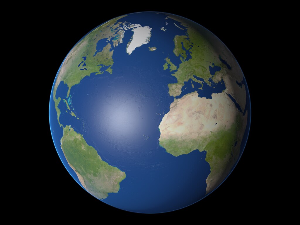
With the data mentioned above it is possible to render the planet at very large size, the detail view on the right is from a 6400x4800 render.
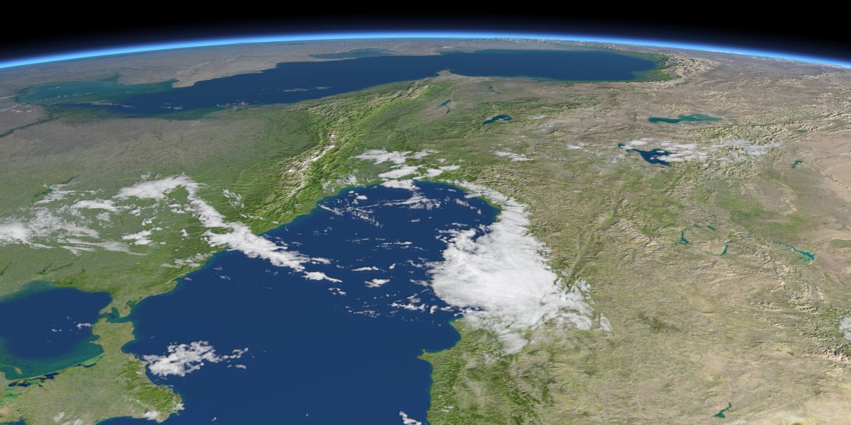
I also rendered closeup views from various regions. The technique used for these renders makes it possible to have a seamless transit from the high detail foreground to the lower detail background.
As visible in these images the quality of the height data - despite being of the same nominal resolution - differes strongly depending on the region.

|

|
|
|
|
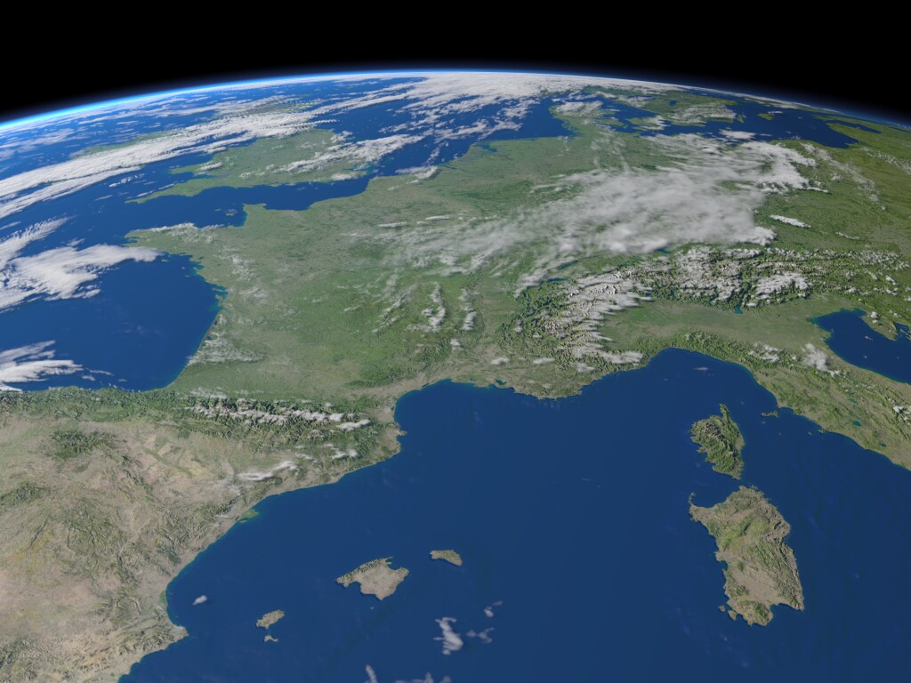
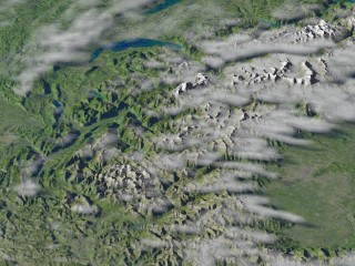
Western europe with and without clouds.
[ |
|
|
|
|
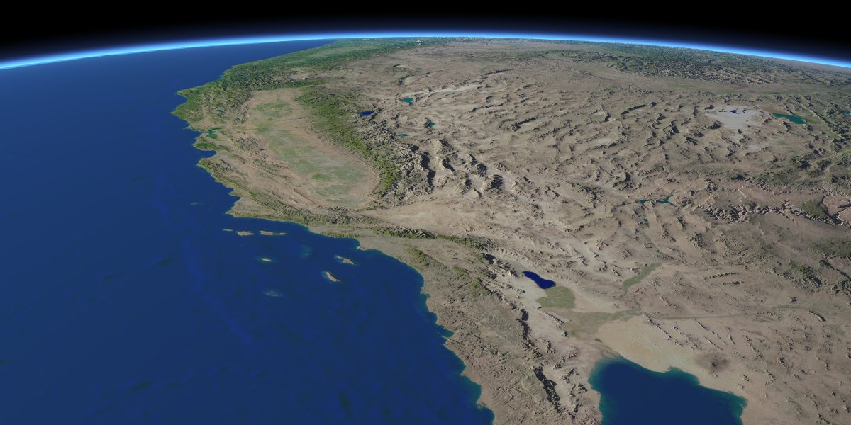
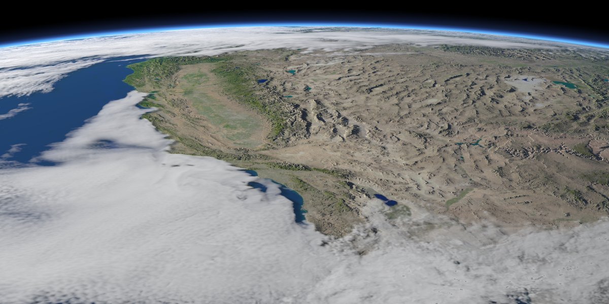
Western USA with and without clouds.
[ |
|
|
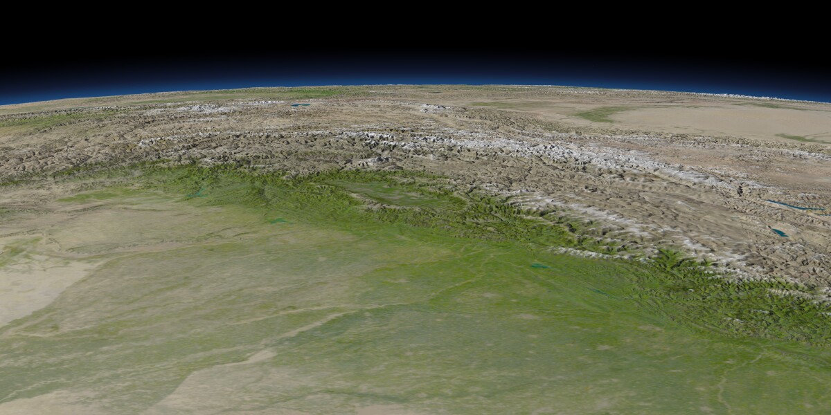
View of northwestern India and northern Pakistan
as well as Tibet. |
|
|
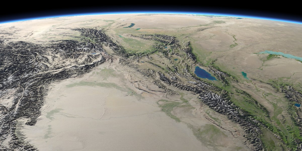
View from western China in westward direction
including northern Afghanistan, Tajikistan, Kyrgyzstan and Kazakhstan. |
|
|
Northern Vietnam and southern China with the island of Hainan,
Hong Kong is just out of view on the right. |
|
|
Southern Japan and Korea. Height scale exaggerated 2.5x. |

|
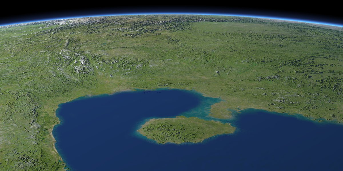
| Caucasus mountains and Caspian Sea. |
|
|
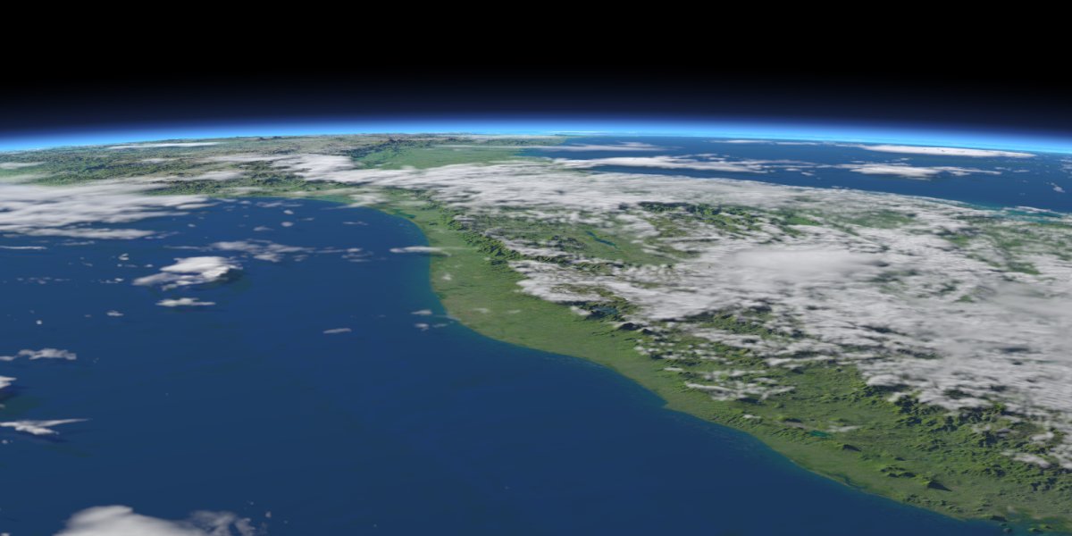
Southern Mexico with clouds. |
|
|
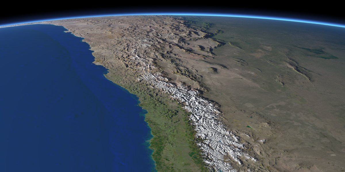
Northern Chile. |
|
|
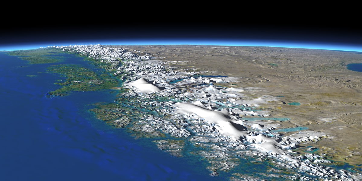
Southern Chile and Argentina. Showing a region where
terrain data is fairly low quality. Height scale exaggerated 2.5x. |
|
