Imagico.de
Geovisualizations
by Christoph Hormann


East Africa and the Great Rift
View information
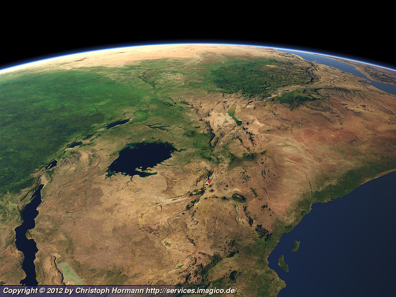
View of Eastern Africa with the Great Rift, the upper Nile river and the eastern part of the Congo Basin
| view data | |
|---|---|
| Location: | 38.639° E, 17.56° S |
| Altitude: | 2029 km |
| View Direction: | 349° |
| Camera Angle: | 35° |
| Available size: | up to 8000×6000 pixel |
License inquiry
Blog news:
Trends for the future of map design in OpenStreetMap (20 Apr 2024)
The current state of map design in OpenStreetMap (18 Apr 2024)
Digital map design history (16 Apr 2024)
Addresses and Entrances (11 Apr 2024)
Todays featured image:

The Nares Strait in Autumn
Landsat mosaic of the Nares Strait between Greenland and Ellesmere Island in Autumn, divided into Baffin Bay, Smith Sound, Kane Basin, Kennedy... [more]
The most important sections:

Design and Content Copyright 2024 by Christoph Hormann
last updated Sat, 30 Mar 2024 23:52