The lower Danube River
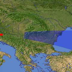
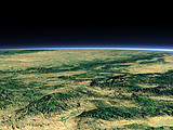
After the crossing between the Carpathian Mountains and the Balkan Mountains in the gorge called Iron Gate the Danube River flows at the border between Romania and Bulgaria, then turns north and reaches the Black Sea in the far background.
| Ansicht: | The lower Danube River |
| Position: | Lon 16.358° Lat 44.919° |
| Höhe: | 149 km |
| Richtung: | 95° |
| Kamerawinkel: | 21° |
| Bewertung: | 2.4 |
Umgebungskarte: Optisch Topographie

Start •
Impressum •
Nutzungsbedingungen •
Sitemap •
Bilder:
Liste
/
Karte /
Galerie •

imagico.de • blog.imagico.de • services.imagico.de • maps.imagico.de • earth.imagico.de • photolog.imagico.de
imagico.de • blog.imagico.de • services.imagico.de • maps.imagico.de • earth.imagico.de • photolog.imagico.de


Kommentare:
Durch das Abschicken Ihres Kommentars stimmen Sie der Datenschutzrichtlinie zu und erlauben, dass die eingegebenen Informationen (mit Ausnahme der eMail-Adresse) in diesem Blog veröffentlicht werden.