Marguerite Bay
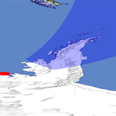
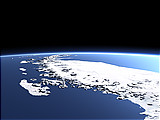
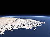
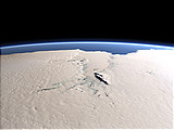
Marguerite Bay is a major bay west of the Antarctic Peninsula north of Alexander Island, the largest island of Antarctica which can be seen in the foreground of this view. The Antarctic Peninsula can be seen in the background with the Larsen Ice Shelf attaching to its eastern side.
| Ansicht: | Marguerite Bay |
| Position: | Lon -80.216° Lat -72.739° |
| Höhe: | 329 km |
| Richtung: | 40° |
| Kamerawinkel: | 44° |
| Bewertung: | 2.3 |
Umgebungskarte: Optisch Topographie

Start •
Impressum •
Nutzungsbedingungen •
Sitemap •
Bilder:
Liste
/
Karte /
Galerie •

imagico.de • blog.imagico.de • services.imagico.de • maps.imagico.de • earth.imagico.de • photolog.imagico.de
imagico.de • blog.imagico.de • services.imagico.de • maps.imagico.de • earth.imagico.de • photolog.imagico.de


Kommentare:
noch keine Kommentare.
Durch das Abschicken Ihres Kommentars stimmen Sie der Datenschutzrichtlinie zu und erlauben, dass die eingegebenen Informationen (mit Ausnahme der eMail-Adresse) in diesem Blog veröffentlicht werden.