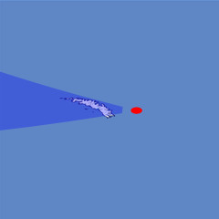
South Georgia
The island of South Georgia lies in the southern Atlantic Ocean. More than half of it is covered by glaciers. The highest peak, Mount Paget (2935m) in the Allardyce Range in the center of the island can be seen in the middle of this view.
| Ansicht: | South Georgia |
| Position: | Lon -34.734° Lat -54.594° |
| Höhe: | 19 km |
| Richtung: | 275° |
| Kamerawinkel: | 40° |
| Bewertung: | 2.8 |
Umgebungskarte: Optisch Topographie

Start •
Impressum •
Nutzungsbedingungen •
Sitemap •
Bilder:
Liste
/
Karte /
Galerie •

imagico.de • blog.imagico.de • services.imagico.de • maps.imagico.de • earth.imagico.de • photolog.imagico.de
imagico.de • blog.imagico.de • services.imagico.de • maps.imagico.de • earth.imagico.de • photolog.imagico.de


Kommentare:
Durch das Abschicken Ihres Kommentars stimmen Sie der Datenschutzrichtlinie zu und erlauben, dass die eingegebenen Informationen (mit Ausnahme der eMail-Adresse) in diesem Blog veröffentlicht werden.