Imagico.de
Relief data products and services
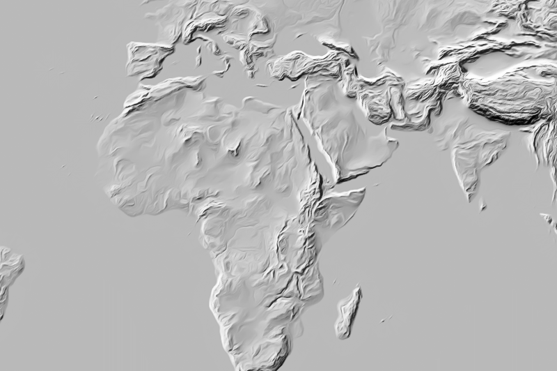
Generalized shaded relief
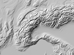
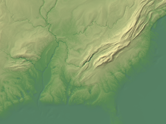
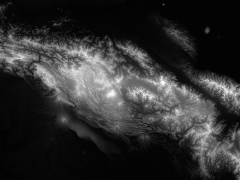
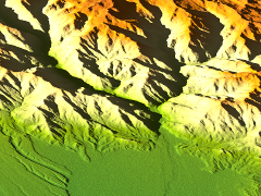
I also provide pre-rendered and generalized shaded relief data - either as a grayscale shademap or with custom coloring. Shading is performed using a custom algorithm including adaptive illumination. The shade map is generalized for good readability and for reducing raster artefacts.
Both the shading style and the generalization settings can be adjusted for the application.
| data information: | |
|---|---|
| data type | generalized shaded relief |
| coverage | global |
| available projections/variants | EPSG:3857 for web maps zoom 1-6, EPSG:3031, EPSG:3995 |
| custom production | any other projection, custom shading style |
| license constraints | depending on source data |
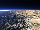
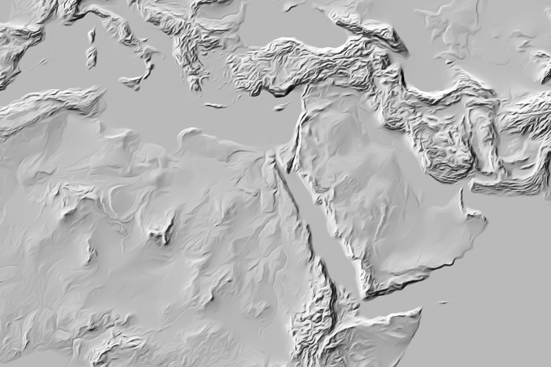
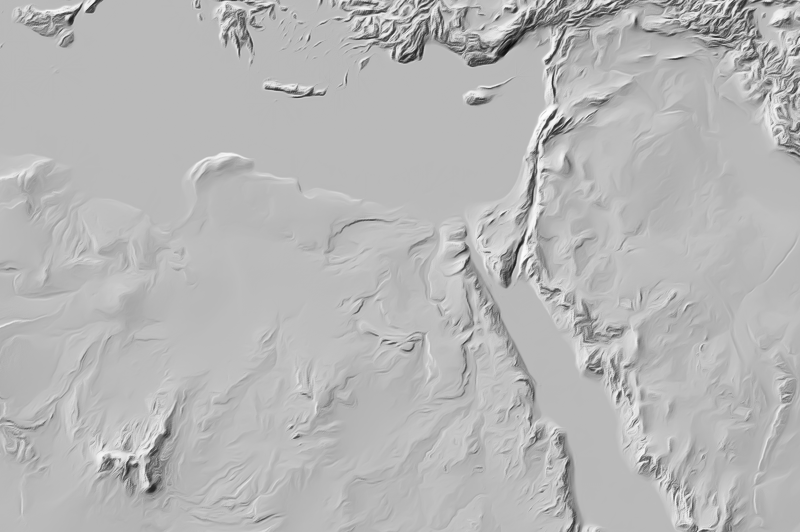
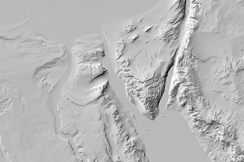
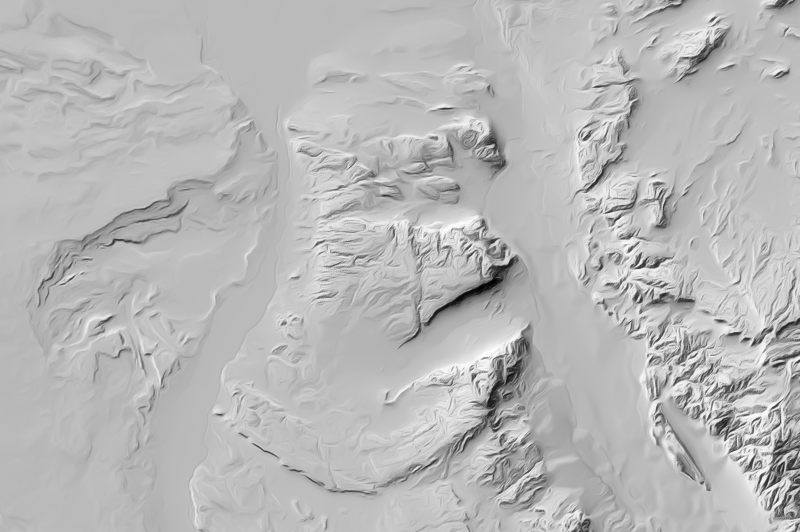
Here an example for relief renderings for web map zoom levels 3 to 8

If you are interested in generalized shaded relief data use the form below to describe your needs and i will get back to you.
Data inquiry
Processed elevation data
The various elevation data sets currently available all come with restrictions like limited coverage, gaps, errors and data artefacts. I provide elevation data processing to produce
- seamless combination of different limited coverage data sets.
- merging multiple data sources to a combined and better quality data set like merging ASTER GDEM and SRTM.
- waterbody flattening.
- generating high quality gridded DEMs from contour data.
| data information: | |
|---|---|
| data type | processed elevation data |
| coverage | global |
| available projections/variants | only custom production |
| custom production | on customer requests |
| license constraints | depending on source data |
If you are interested in elevation data processing services use the form below to describe your needs and i will get back to you.
Data inquiry
Blog news:
Todays featured image: