Imagico.de
Landsat/Sentinel-2 mosaics of the Subantarctic Islands


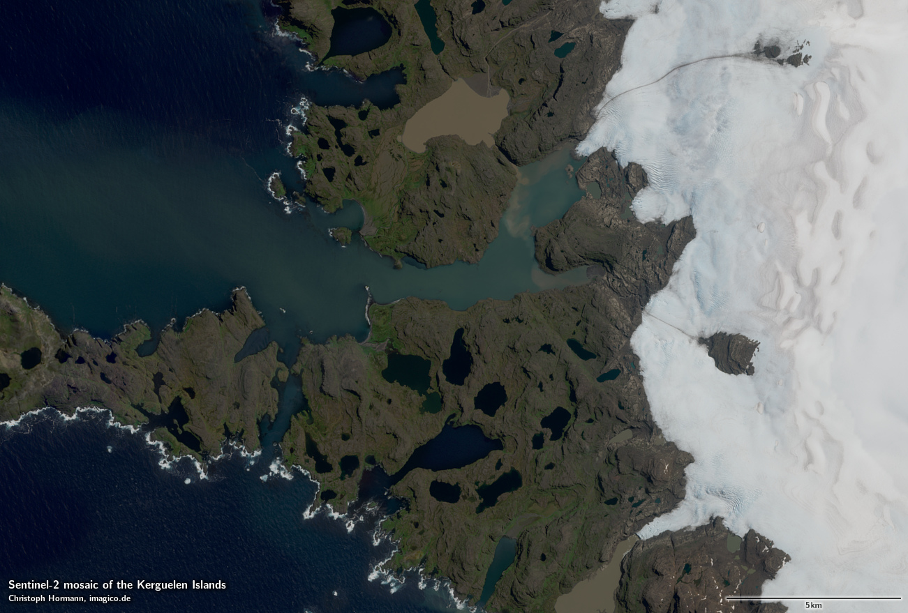
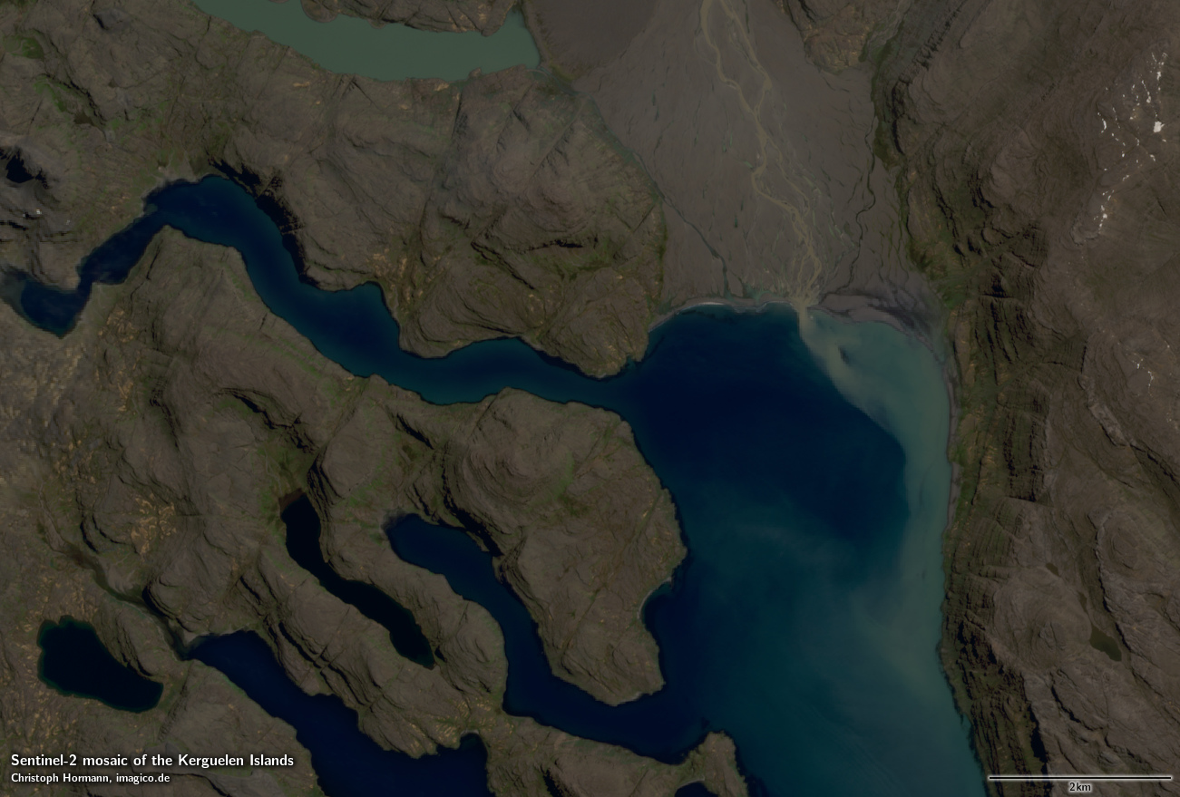
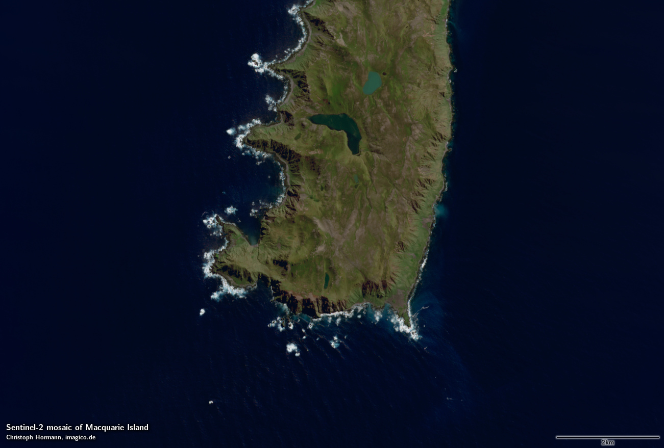
The satellite image mosaics featured here show the Subantarctic Islands located around the Antarctic as they appear during summer with a minimum of snow and a maximum of vegetation.
These mosaics can be considered a higher resolution supplement to the Green Marble and similarly it represents the surface color with compensation for the effects of the atmosphere.
The mosaics features seamless coverage of the ocean using the Green Marble mosaic for areas further from the coast without Landsat/Sentinel-2 coverage.
Source data is almost exclusively Landsat 8 imagery from 2013 to 2018 and Copernicus Sentinel-2 imagery from 2016 to 2018 with only very few small areas where this has been supplemented by older Landsat 7 imagery.
Here the details on the individual mosaics:
| mosaic | data source | resolution | size |
|---|---|---|---|
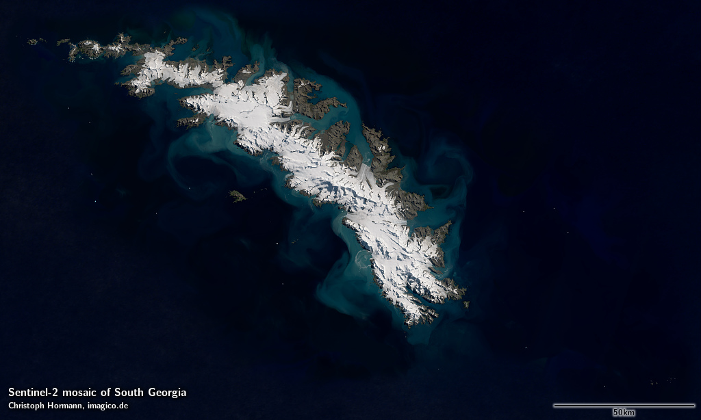
| South Georgia | LS/S2 | separate page for Landsat, Sentinel-2 | |
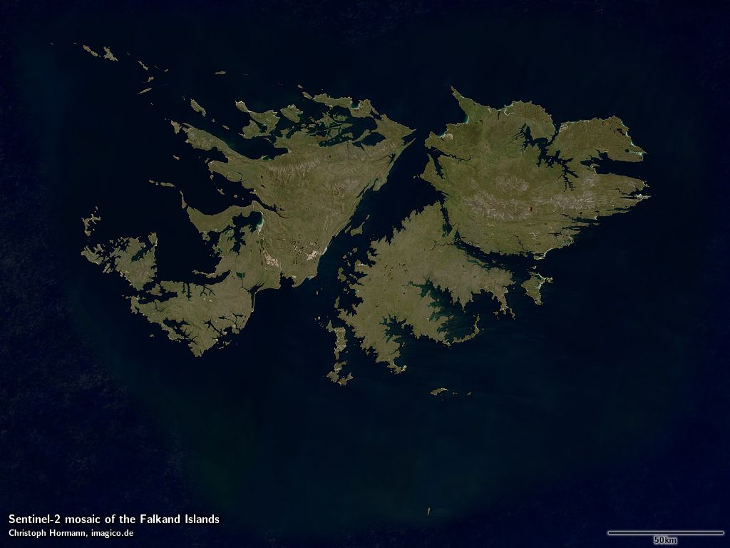
| Falkland Islands | Sentinel-2 | separate page | |
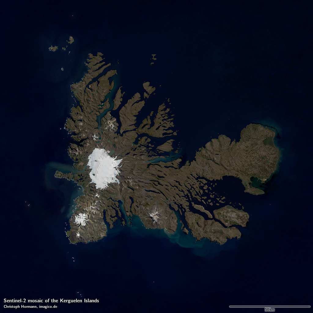
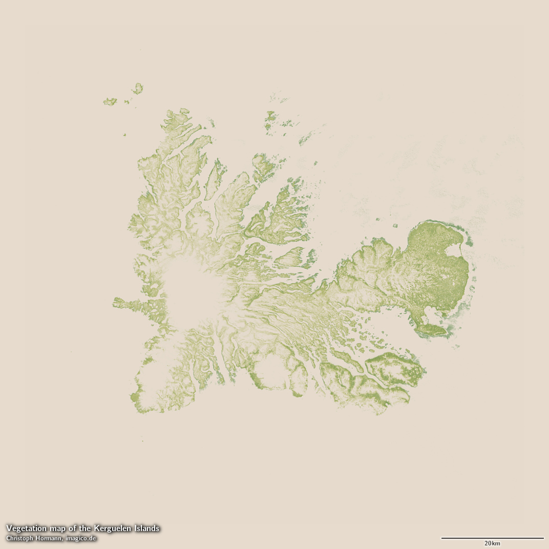
| Kerguelen Islands | LS/S2 | 10m | 19500×19500 |
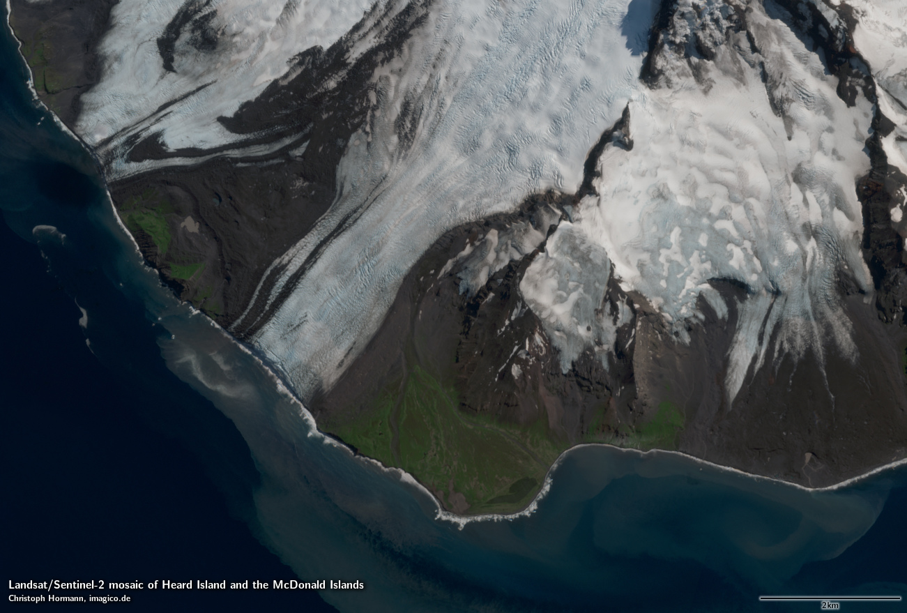
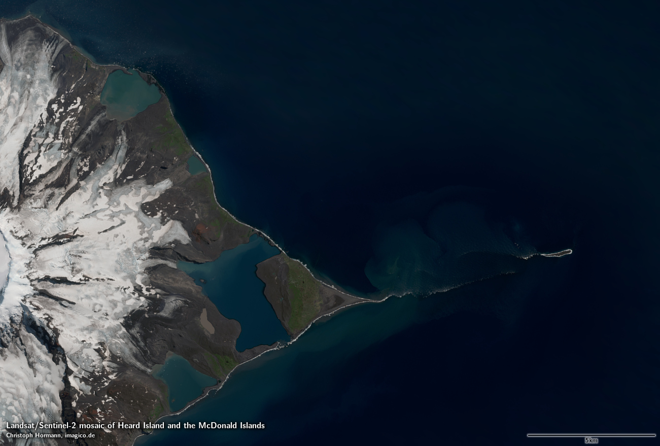
| Heard Island and McDonald Islands | LS/S2 | 10m | 10000×4000 |
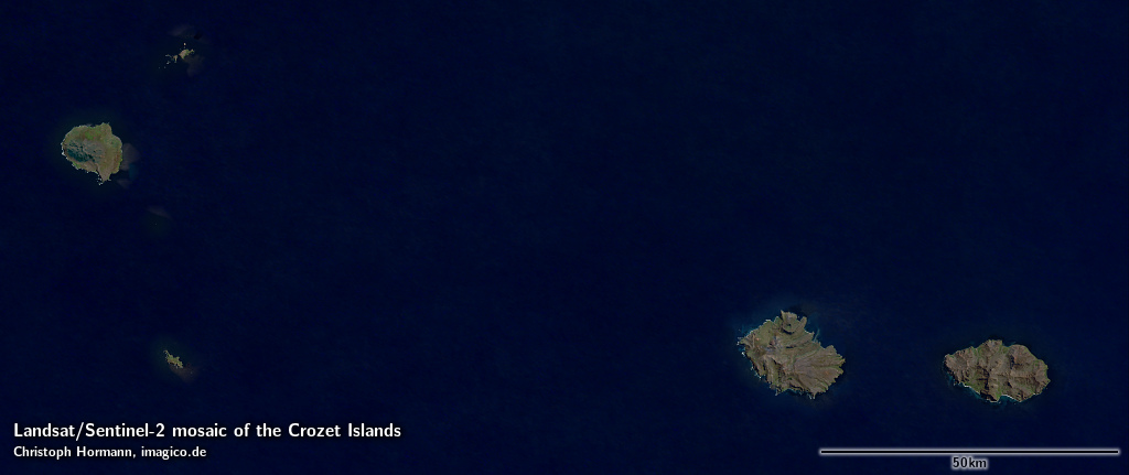
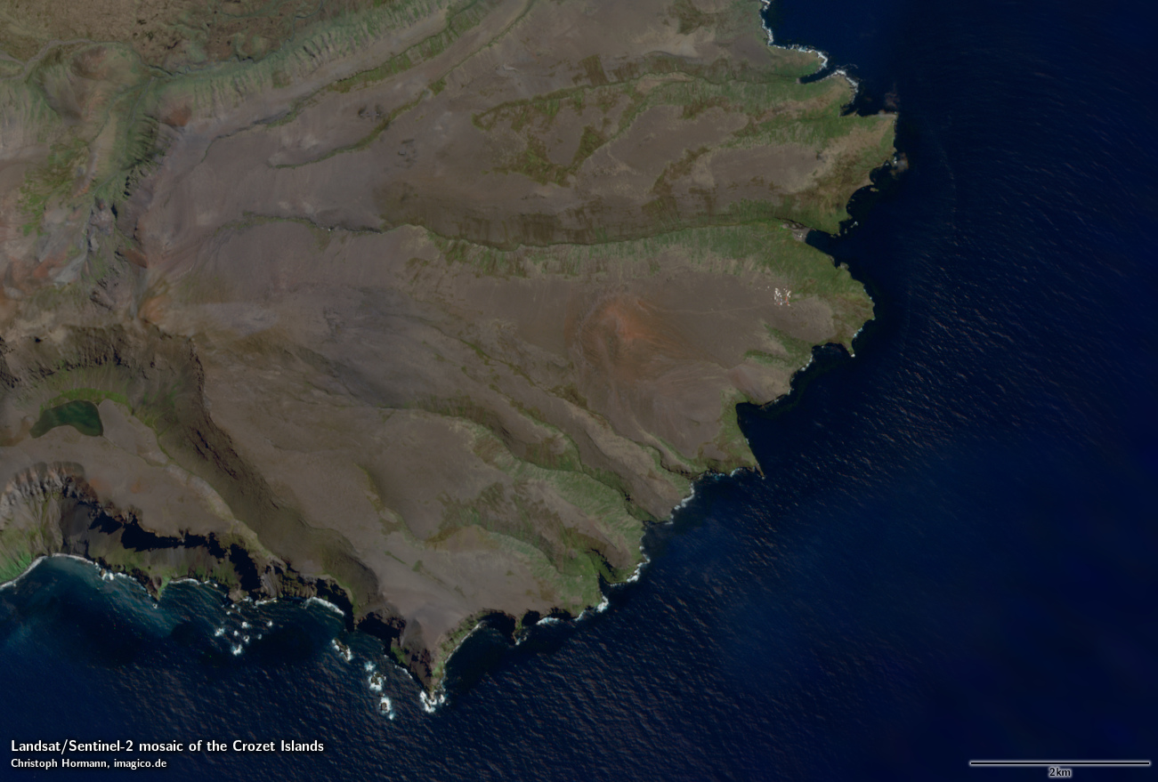
| Crozet Islands | LS/S2 | 10m | 19000×8000 |
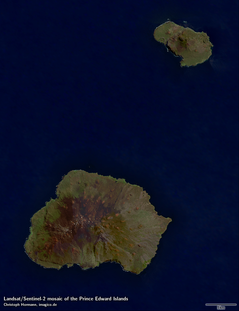
| Prince Edward Islands | LS/S2 | 10m | 4000×5200 |
| Bouvet Island | Landsat | 15m | 2333×1666 |
| South Sandwich Islands | LS/S2 | 10m | 14500×39000 |
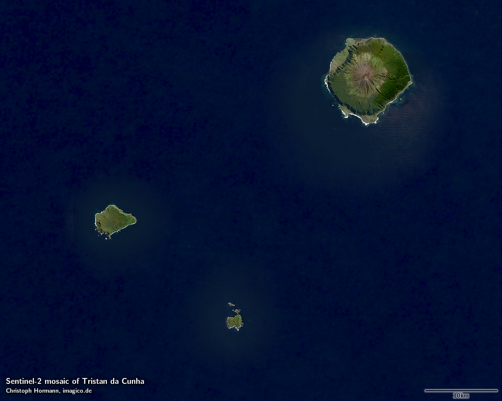
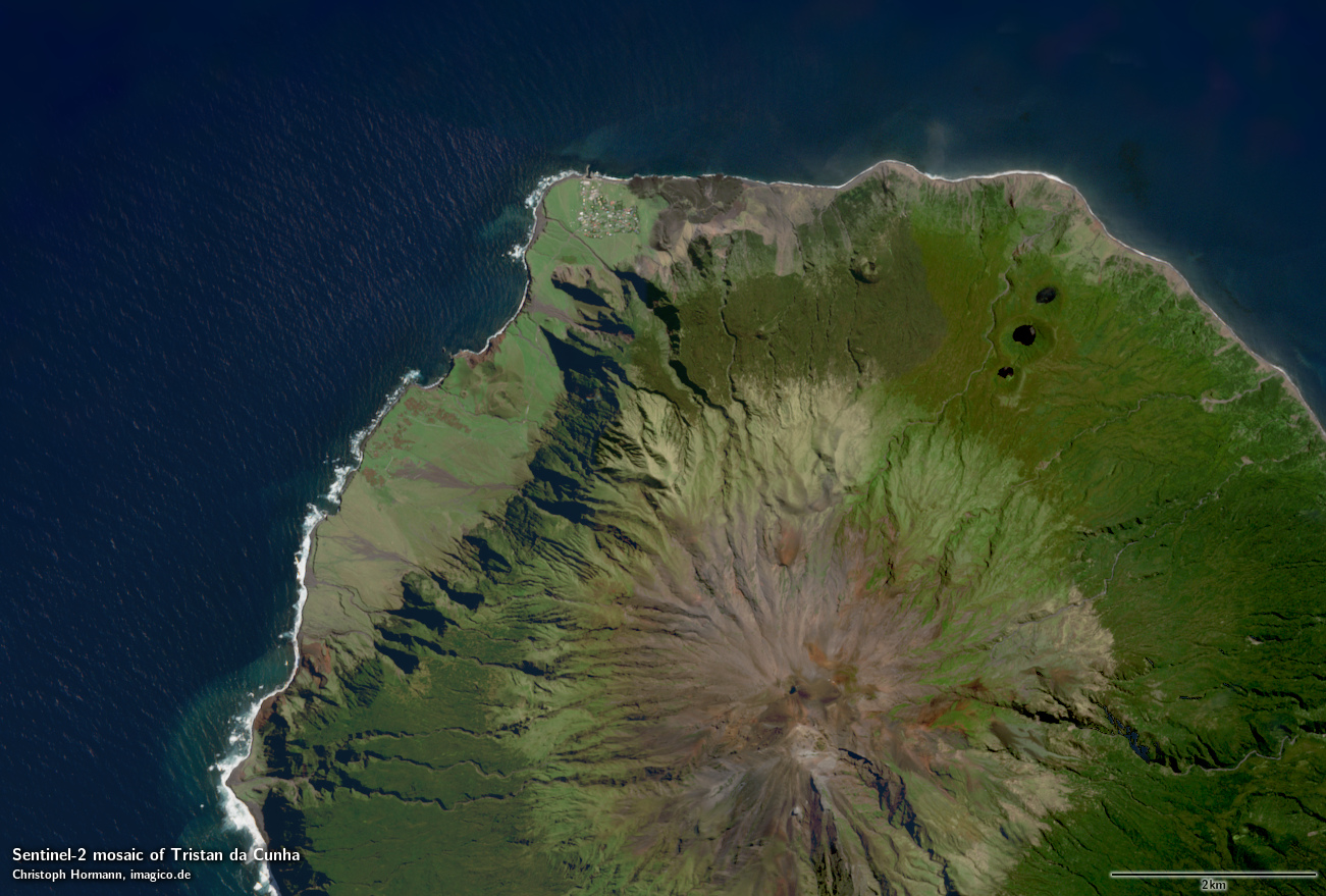
| Tristan da Cunha | Sentinel-2 | 10m | 7000×5600 |
| Gough Island | LS/S2 | 10m | 5000×5000 |
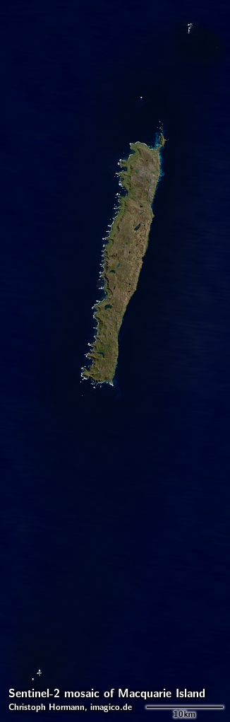
| Macquarie Island | Sentinel-2 | 10m | 3000×9400 |
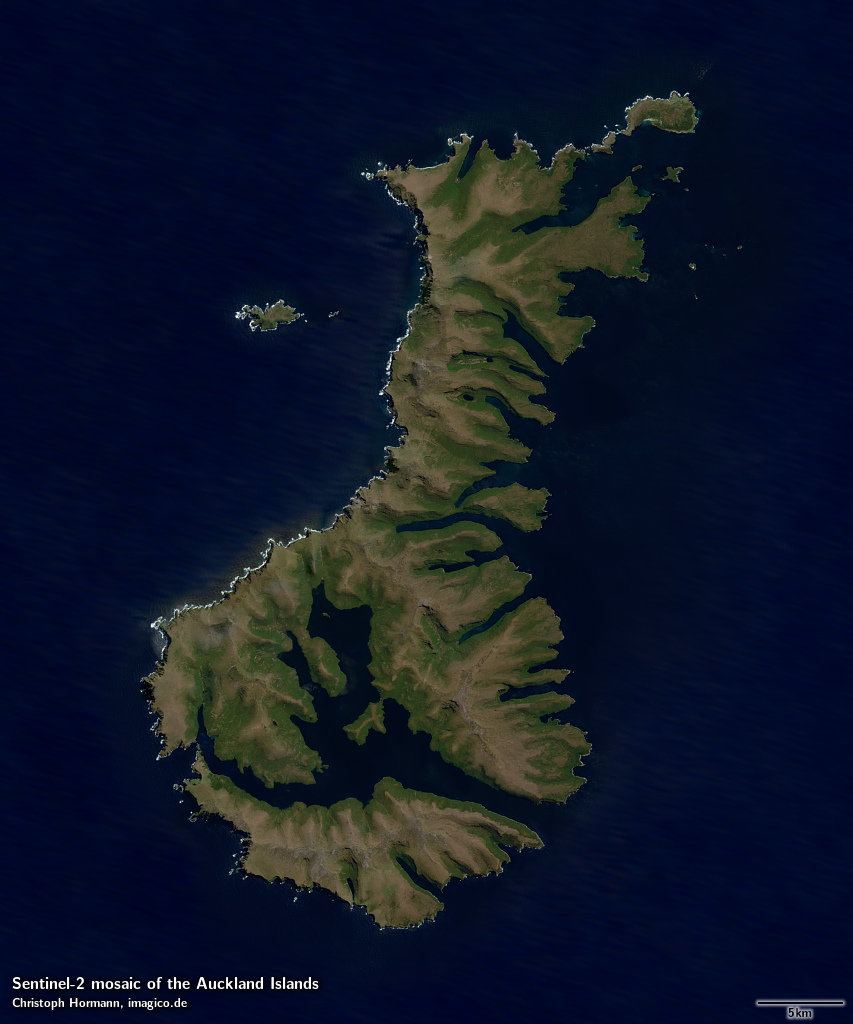
| Auckland Islands | Sentinel-2 | 10m | 5000×6000 |
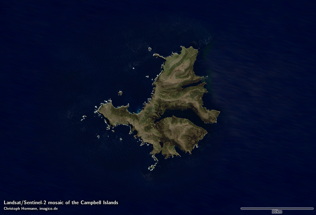
| Campbell Islands | LS/S2 | 10m | 4400×3000 |
| Antipodes Islands | Landsat | 15m | 1500×1200 |
| Snares Islands | Landsat | 15m | 2000×1500 |
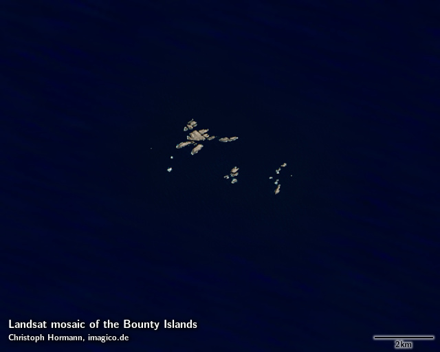
| Bounty Islands | Landsat | 15m | 1000×800 |
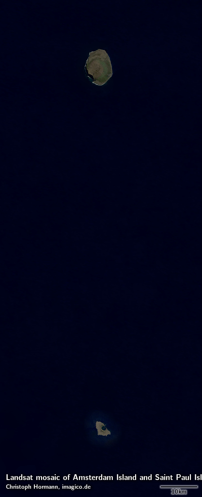
| Amsterdam Island and Saint Paul Island | Landsat | 15m | 3667×9001 |
In addition to the visual color mosaics there are also vegetation data sets available based on the same Sentinel-2 and Landsat imagery depicting the maximum amount of vegetation at every point - separated into woody and herbaceous vegetation.
Key properties
- Visible color mosaics of the Subantarctic Islands
- 10m or 15m base resolution
- Based primarily on Landsat and Sentinel-2 imagery from 2013-2018.
- Ocean color further away from the coast based on Green Marble
- Shows atmosphere compensated surface color, available either as linear surface reflectance values or tone mapped for direct display
- Assembled in UTM projection, can be made available in other projections.
Sample gallery


If you are interested in using these Landsat/Sentinel-2 mosaics use the form below to describe your needs and i will get back to you.
Data inquiry
Blog news:
Todays featured image: