Imagico.de
Geovisualizations
by Christoph Hormann


Isfjorden in Svalbard
View information
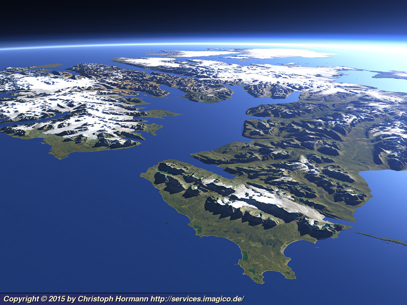
View of the Isfjorden, the largest bay on the western side of Svalbard where most of the current and former settlements on the island including Longyearbyen and Barentsburg are located. Uses data from the Norwegian Polar Institute (CC-By 4.0).
| view data | |
|---|---|
| Location: | 12.863° E, 77.503° N |
| Altitude: | 31.863 km |
| View Direction: | 33° |
| Camera Angle: | 62° |
| Available size: | up to 6400×4800 pixel |
License inquiry
Blog news:
Trends for the future of map design in OpenStreetMap (20 Apr 2024)
The current state of map design in OpenStreetMap (18 Apr 2024)
Digital map design history (16 Apr 2024)
Addresses and Entrances (11 Apr 2024)
Todays featured image:

The Kenyan Rift Valley 2
View southward across the eastern part of the African Rift Valley - similar to a Views of the Earth image [more]
The most important sections:

Design and Content Copyright 2024 by Christoph Hormann
last updated Sat, 30 Mar 2024 23:52