Imagico.de
Geodata products
In addition to complete earth visualizations I also produce various processed geodata products you can use to create your own images and maps. Below you can find descriptions and samples for the products I offer. If you need other types of data you can contact me for advise or custom data preparation.
Generalized geodata products
Geometric generalization is an imported processing step to produce high quality maps and Geovisualizations. I offer a number of generalized data sets of various map features ready for use in map rendering as well as custom generalization services.
Satellite image products
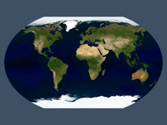
Satellite images assembled and processed to consistent, up-to-date mosaics with realistic colors and free of clouds.
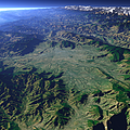
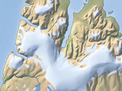
Relief data products and services
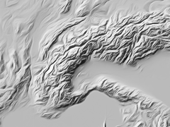
Depiction of the relief is an important element in many maps and I offer various processing services with relation to relief data for high quality relief visualization.
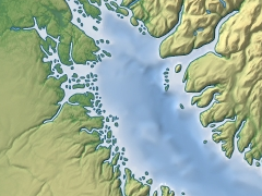
Cartographic data products
I offer original cartographic data for various remote areas of the Arctic derived from satellite imagery.
Blog news:
Todays featured image: