Imagico.de
Cartographic data products
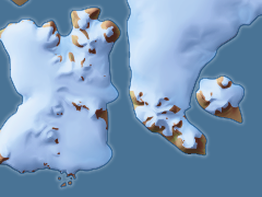
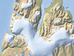
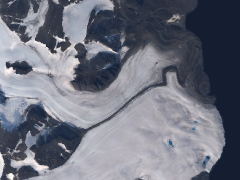
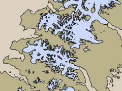
Franz Josef Land map data
The base data for the Franz Josef Land map is offered for licensing for custom use. Some of this data is also available in Openstreetmap under ODBL.
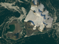
Coastline, waterbody and glacier data is derived mostly from Sentinel-2 imagery from 2016, partly also from Sentinel-2 and Landsat imagery from 2015, the satellite image mosaic and the vegetation map from 2013-2015.
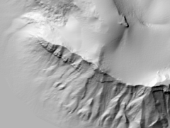
Relief data is based on ArcticDEM which is derived from DigitalGlobe satellite images and has been extensively processed to be suitable for cartographic applications.
Data offered comprises:
- coastline, inland waterbody and glacier polygons as well as rivers
- raster map of the vegetation in 30m resolution
- true color Landsat mosaic in 15m resolution
- relief data corrected and processed to match the coastline and waterbody data in 5m resolution
| data information: | |
|---|---|
| data type | map data and true color satellite image mosaic |
| coverage | Franz Josef Land |
| available projections/variants | original data in UTM zone 40 projection |
| license constraints | none |
If you are interested in Franz Josef Land map data use the form below to describe your needs and i will get back to you.
Data inquiry
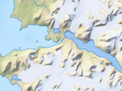
Severnaya Zemlya map data
The map data the Severnaya Zemlya map is created from is also available for licensing.
All data is derived from Landsat imagery, in most parts from 2010-2013 and only in very small areas older than 2005.
Data offered comprises:
- coastline, inland waterbody and glacier polygons as well as rivers
- raster map of the vegetation
- true color Landsat mosaic
| data information: | |
|---|---|
| data type | map data and true color satellite image mosaic |
| coverage | Severnaya Zemlya |
| available projections/variants | original data in UTM zone 47 projection |
| license constraints | none |
If you are interested in Severnaya Zemlya map data use the form below to describe your needs and i will get back to you.
Data inquiry
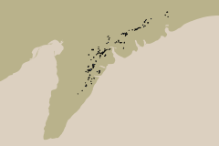
Novaya Zemlya map data
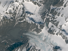
The map data the Novaya Zemlya map is created from is also available for licensing.
All data is derived from Landsat imagery, in most parts from 2013-2015 and only in very small areas older than 2011.
Data offered comprises:
- coastline, inland waterbody and glacier polygons as well as rivers
- polygons for moraines
- raster map of the vegetation
- true color Landsat mosaic
| data information: | |
|---|---|
| data type | map data and true color satellite image mosaic |
| coverage | Novaya Zemlya |
| available projections/variants | original data in UTM zone 40 projection |
| license constraints | none |
If you are interested in Novaya Zemlya map data use the form below to describe your needs and i will get back to you.
Data inquiry
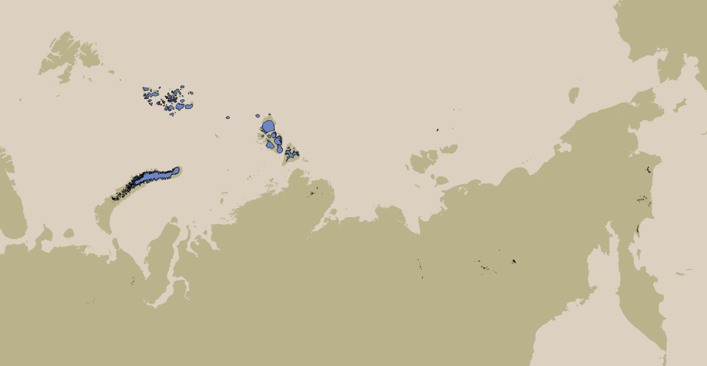
Glacier data Russian Arctic
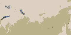
This data set combines the glacier data from Severnaya Zemlya and Franz Josef Land (see above) with additional mapping of the other Russian Arctic glaciers.
All data is derived from Landsat imagery, in most parts from 2010-2014.
The following regions are included:
- Severnaya Zemlya
- Franz Josef Land
- Novaya Zemlya
- De Long Islands
- Northern and Polar Ural
- Byrranga Mountains
- Verkhoyansk Range
- Koryak Mountains (between Cape Navarin and Pylginsky Range)
- Chersky Range
| data information: | |
|---|---|
| data type | polygons representing the glacier extent |
| coverage | Russian Arctic |
| available projections/variants | EPSG:4326 or customer defined |
| license constraints | none |
All together there are more than 1800 glacier polygons in this data set.
If you are interested in Russian Arctic Glacier data use the form below to describe your needs and i will get back to you.
