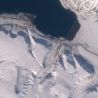
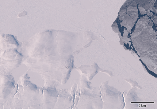
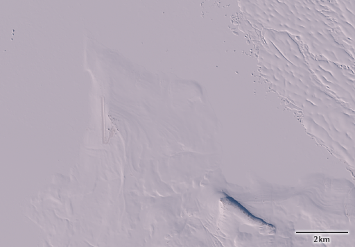
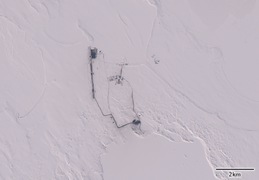
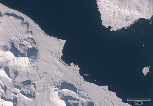
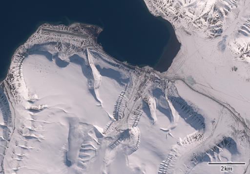
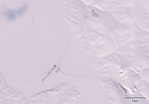
A few more satellite images from spring in the Arctic – this time featuring the northmost settlements on Earth.
The northmost permanent settlement on the planet is and has been for a long time the weather station and military base at Alert in northern Canada on the northeastern end of Ellesmere Island at 82.5 degrees north.
Next, about one degree further south, is Station Nord in northeastern Greenland, a Danish military post. In contrast to all other places shown which are near the coast and accessible by ship in summer this is inaccessible all year round in most years due to sea ice and all supplies need to be brought in by air.
Again nearly a degree further south at 80.8 degrees north is Nagurskoye on Alexandra Land, Franz Josef Land. This military outpost was significantly extended in recent years – i showed an image of supply operations two years ago.
All these three northmost settlements have been established in the 1950s during the cold war. They are all military stations with restricted access. The northmost settlement open to everyone to visit is Ny-Ålesund on Svalbard which is mostly used for scientific research.
Also on Svalbard slightly further south is Longyearbyen which is the northmost bigger settlement on Earth with a population of more than 2000. On the plateau south of the airport on the left side of the image you can see the antennas of the Svalbard Satellite Station which receives a significant fraction of the satellite images i show here.
Both these Svalbard settlements are more than 100 years old, much older than the ones further north established during the cold war. And in contrast to the other places where all ressources need to be brought in from abroad the Svalbard settlements are powered by locally mined coal.
Last – and no more competing for a record latitude in any way but kind of significant for balance around the pole here another image of the Russian military base on Kotelny Island which – like Nagurskoye – has been extended significantly in recent years.
Locations of all these places can also be found on the following map.
All images based on Copernicus Sentinel-2 data from April and May 2017.

