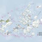
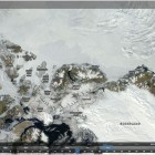
I just saw that the NASA has recently started fairly prominent use of of OpenStreetMap data in their Global Imagery Browse Services (GIBS). This is a neat service offering various near real time satellite data products for use in web … Continue reading
August 28, 2014
by chris
0 comments
