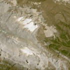
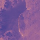
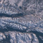
One of the pitfalls when OpenStreetMap contributors map remotely based on aerial or satellite images without recent on-the-ground knowledge is that it sometimes leads to “improving” seemingly inaccurate data based on outdated information. The most iconic examples for this are … Continue reading

July 28, 2017
by chris
0 comments


