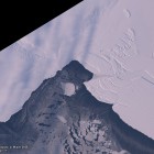
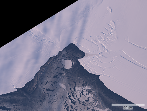
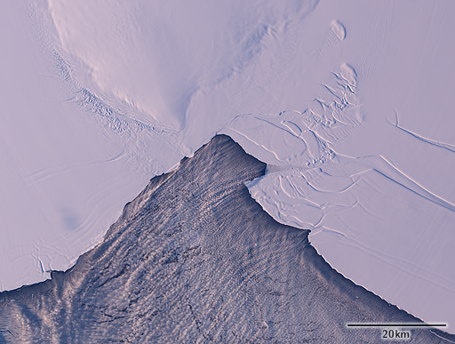
Last year i showed an image from the Bay of Whales in Antarctica. Here is a newer Landsat image from the same area from approximately a year later.
And here is the same in direct comparison to the 2015 image showing how the ice changed.
The Ross ice shelf on the right moves about one kilometer per year at the outer edge changing the whole configuration significantly from year to year.


