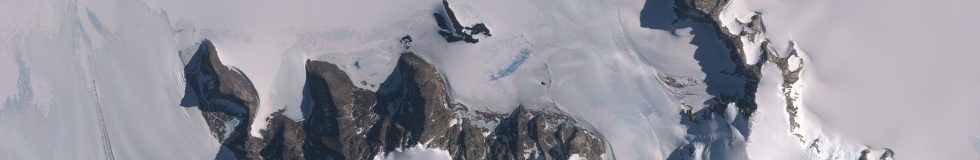
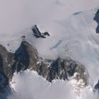
I processed another set of satellite images of the Antarctic for mapping in OpenStreetMap – further extending the fraction of the Antarctic for which up-to-date images are available to mappers.
As before – depending on how quick the editors are in adding the new images to their databases these might be soon available in your editor of choice – but you can also add them manually based on the links provided on my preview map.
A few highlights:
Pingback: weeklyOSM 713 – weekly – semanario – hebdo – 週刊 – týdeník – Wochennotiz – 주간 – tygodnik