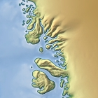
When I produced the topographic map demo I promised that I’d write something about relief generalization but when starting that I realized that I need to discuss coastlines before I can deal with the relief. So you can find some musings on coastline rendering, the importance of generalization and the lack of it in current web maps in my new essay on coastline generalization.
I also produced a demonstration map and made available a sample file with a generalized coastline based on Openstreetmap data. Thanks to some fixes for gross errors in recent months the Openstreetmap coastline data has now reached a fairly good level of quality making it a suitable data source for this exercise – with the exception of Antarctica and the northmost part of Greenland I should add.
