Imagico.de
The Green Marble mosaic version 1
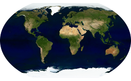
The Green Marble mosaic version 1 described on this page has been superseded by the Green Marble version 4.
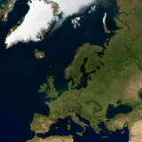
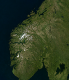
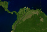
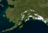
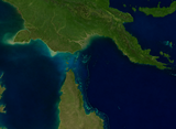
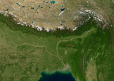
The Green Marble is a whole earth image mosaic assembled from visual color satellite images. It is the first truly global mosaic covering the full planet surface from the equator to the poles based on actual measured colors and with seamless coverage of the oceans. And it is the first truly cloud free mosaic with no residual clouds even in critical areas in the tropics.
The Green Marble represents the surface color at the local vegetation maximum or snow/ice minimum at any part of the planet - hence the name. So in total it does not show any particular point of time but instead shows a generalized typical appearance of the earth surface.
Key properties
- Full coverage of the planet surface up to the poles and including the oceans
- 100 percent cloud free
- Based on MODIS surface reflectance data, primarily from 2011-2013
- ~250m base resolution on land, seamless ocean coverage but in reduced resolution except for coastal areas
- Depiction of the average vegetation maximum and snow/ice minimum appearance at any point on earth
- Sea ice rendering showing the typical summer extent
- Available as linear surface reflectance values as well as tone mapped and relief shaded images in any projection
Demo map
Here is a demonstration map in web mercator projection based on the Green Marble mosaic
A small version of the tone mapped Green Marble in plate carrée projection (EPSG:4326) is available for testing under CC-BY-SA license:
- gm_v10_4326_4800.zip (12 MB), usable under Creative Commons Share Alike license
For custom licensing you can obtain any other projection and size of course. For use in web maps i can also provide tile services.
Green Marble version 1 license inquiry
Blog news:
Todays featured image:

