The description of the waterbody generalization technique used for the new demo map is now available. I also put up a new version of the coastline_gen tool with new functions used for the lakes. Documentation of this is currently somewhat incomplete though.
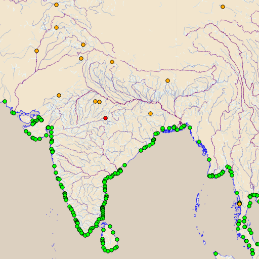
The following image shows one of the central components of the process, the importance rated rivers with the ends at the coast (green) and one the land (orange/red).

