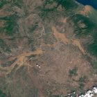
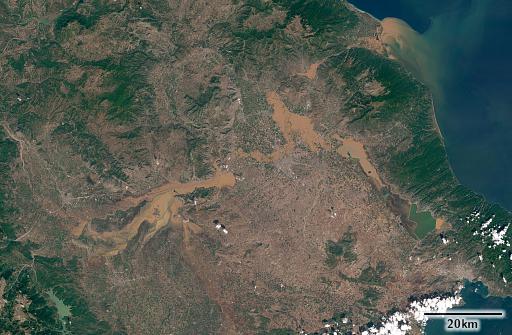
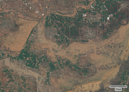
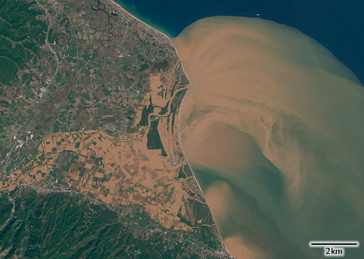
A few days ago a storm has brought extraordinarily intense rain to some parts of the Eastern Mediterranean, leading to substantial flooding in some regions. I prepared a rendering of a satellite image recorded on September the 10th of the Thessalian plain in Greece, showing the flooding a few days after the event around the course of the Pineios River that i wanted to show here.
You can see both the primary flooding in the western part of the plain around Trikala and the secondary flooding further downstream to the east caused by the huge amounts of water raising the level of the Pineios River, right up to the coast were an impressive sediment plume can be observed in the Mediterranean Sea.
I don’t know how useful that is – but i put up the image in my images for mapping in case it is useful to update OpenStreetMap in the area (like indicating impassable roads). Note, however, that mapping temporary water cover itself in OSM is not a good idea.


