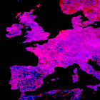
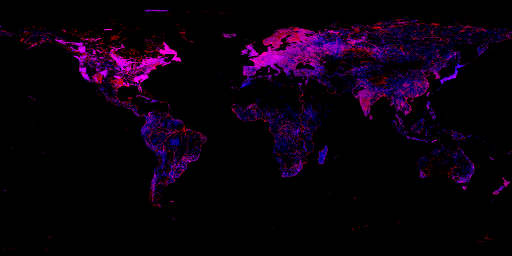
I have worked quite a lot with the Openstreetmap waterbody data recently (see also the next post) and have put together a review of this data. This includes analysis of the spatial distribution as well as discussion of the tagging:
In Summary: Unlike the coastline data inland waterbody information in Openstreetmap is much less uniform and quite difficult to use for anything beyond simple uniform rendering like in the main Openstreetmap slippy map.

